Basic Information
Observation Details
Observation Date:
April 2, 2022 - April 2, 2022Submitted:
April 2, 2022Observer:
Mike Phillips | Key ObserverZone or Region:
Lee ViningLocation:
Warren Fork Lee Vining Creek - Soft snow, waning coverageSigns of Unstable Snow
Recent Avalanches?
None ObservedCracking?
None ExperiencedCollapsing?
None ExperiencedSnow Stability
Stability Rating:
Very GoodConfidence in Rating:
HighStability Trend:
WorseningKey Points
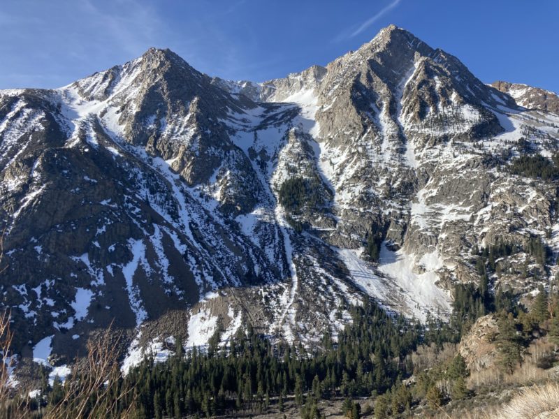
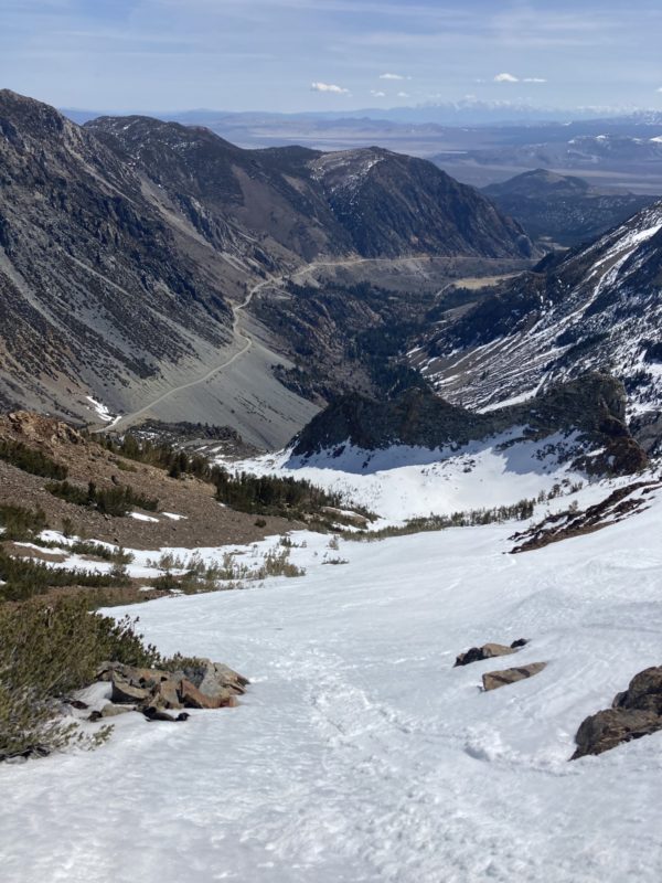
I travelled between 9000′ and 11100′ in the Warren Fork of Lee Vining Creek today to assess warming on E and N aspects. I timed it well for quality skiing today and to not push it too far with any loose wet instabilities I expected on steep E aspects. Near perfect proto-corn skiing at this elevation was at about 1115 this morning.
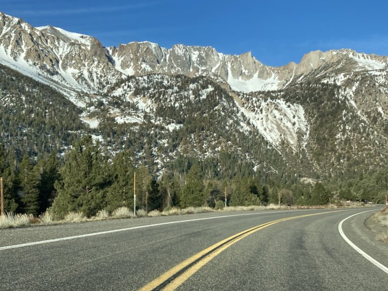
- Tioga Pass road is still closed at the winter closure. Caltrans appears to still be clearing rocks and maintaining the scree/talus aprons of the Blue Slide area.
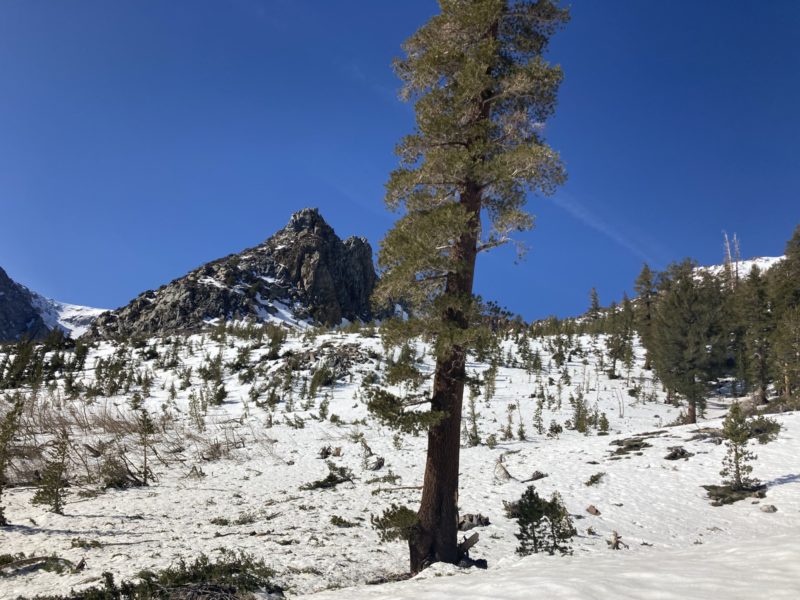
- V-Bowl has no snow near the bottom of the canyon floor. Spring has sprung in the Lee Vining Creek drainage!
- At 0915 at 9200′ on a NE aspect I found perfect supportable corn snow in the trees with temperatures around 45F and light winds coming out of the E.
- Climbing through a N facing pocket beneath tall cliffs the surface showed signs of a hard freeze overnight. Digging in I found a stout 1″ melt-freeze crust overlying 1F hard rounding facets. The HS was well over 250cm in this location, and probing did not reveal any obvious upside down layering. The snowpack felt stout and deep.
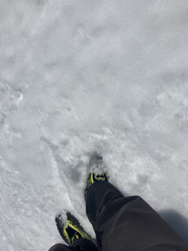
- Higher up, around 1015 at 10100′ as I moved onto the E aspect I planned to descend, the ski and boot penetration increased to about 2″ and ankle deep respectively. This was in a shallower area confined by rocks.
- Nearing the ridgetop as the E facing terrain steepened, my boot penetration was consistently near my boot-top. If I found a spot near shallowly buried rocks or trees I easily sank to my knee and deeper.
- At 1100 at 11100′ the air temperature was already 39F with continued light E winds.
- Dropping of the ridgeline I could sideslip and get some loose snow moving, but it did not entrain much or travel far. If I was in a confined chute of similar steepness and aspect I’m sure that more snow would have moved.
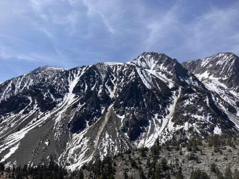
- All of last week’s new snow seems to have assimilated into the previous snowpack, and transitioned to melt-forms on the surface in this area.
While I didn’t experience any major red-flags for increasing avalanche danger on my morning tour, I must acknowledge that I intentionally got an early(ish) start. N, NE and E aspects all have evidence of surface melting to some degree in this area up to 11000′ but I didn’t push it later into the afternoon to see what loose-wet potential there may be.
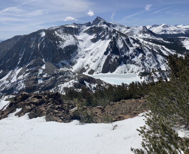
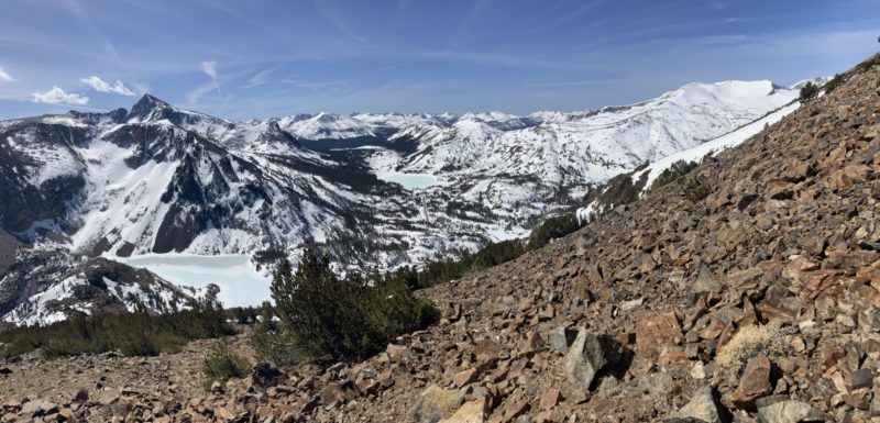
In general snow cover in the Tioga Pass region is looking pretty thin for this time of year. Both Ellery Lake and Tioga Lake are showing signs of melt. Just like other regions of our forecast area, peaks on the Sierra Crest and along subranges west of the crest appear to have the deepest snowpack.
Media
Advanced Information
Weather Summary
Cloud Cover:
Mostly SunnyTemperature:
Above freezingWind:
Light , E
- Light E winds
- FEW sky cover (thin), but slowly increasing throughout the day.
- Very warm temperatures
