Basic Information
Observation Details
Observation Date:
April 3, 2022 - April 3, 2022Submitted:
April 3, 2022Observer:
Geoff Unger | Key ObserverZone or Region:
Mammoth LakesLocation:
Lower Santiago Bowl - Weather Conditions and Significant BurnoutSigns of Unstable Snow
Recent Avalanches?
None ObservedCracking?
None ExperiencedCollapsing?
None ExperiencedSnow Stability
Stability Rating:
GoodConfidence in Rating:
HighStability Trend:
SteadyKey Points
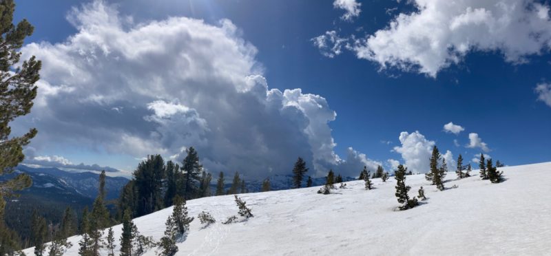
Warming was muted today with morning cloud cover then heavy solar input mid day and building clouds again in the afternoon. The sky began Broken in the morning and cleared to Few clouds in the middle of the day then back to Scattered and maybe even Broken with an hour or two of direct radiation. See photo of afternoon cumulus cloud growth.
For avalanche problems we saw isolated surface instability that was only underneath the skis. See video.
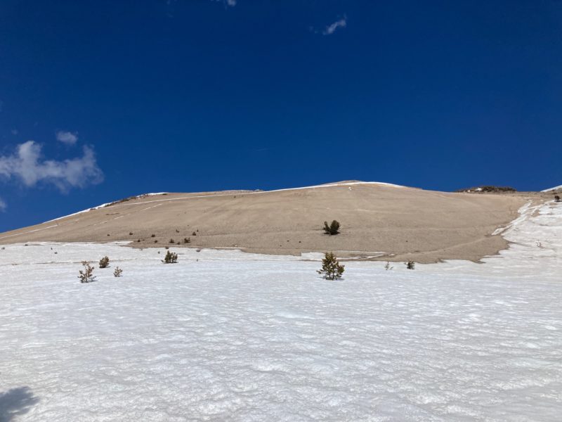
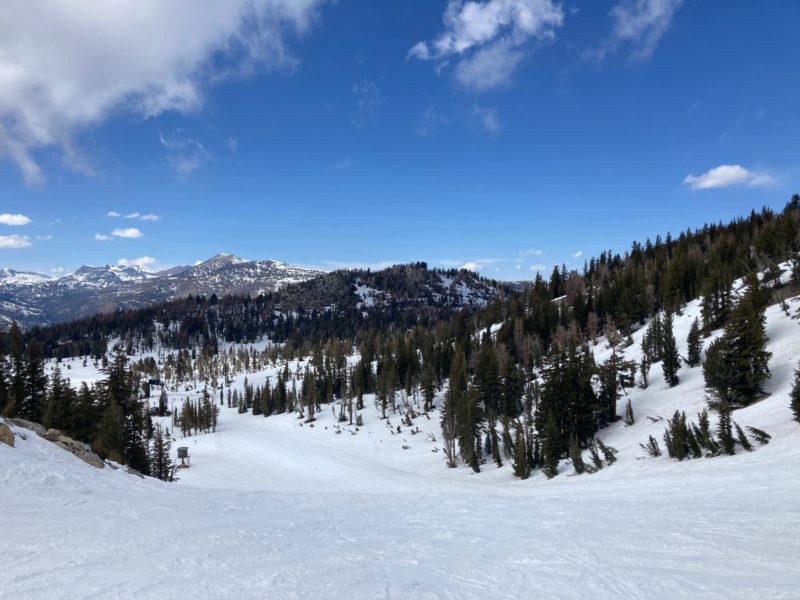
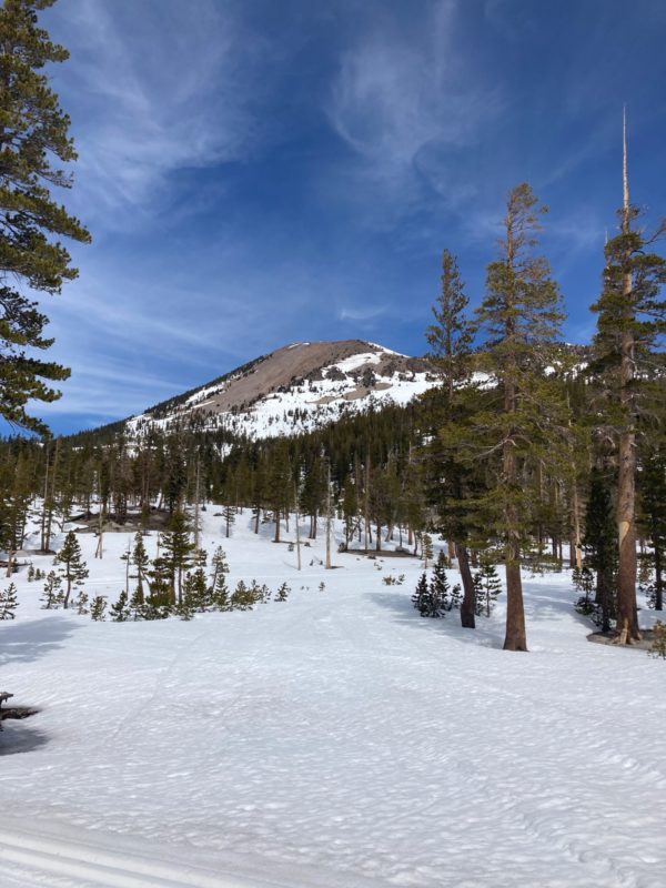
Snow coverage continues to deteriorate, especially in areas around existing snow fields and thin areas around trees, rocks and cliffs. E-SE-S-SW-W aspects are the most common areas to see this deterioration of snow coverage Transitional snowpack conditions exist on NW-N-NE aspects. There is a time in our spring season when we see these aspects consolidate and warm on the surface without being punchy and unsupportable. This will probably start to occur in the next week or so with continued warm temperatures but we aren’t there yet.
Media
Advanced Information
Weather Summary
Cloud Cover:
Mostly CloudyTemperature:
5.5Wind:
Light , SW
Field Weather Observation:
Location Lower Santiago Bowl
Time 1500
Elevation 10140
Aspect SSW
Sky SCT
Tair/surf 5.5/-1.0
Precip NO
Wind L gusting M from SW
Blow Snow None
Surface Form/Size MFcr 2.0
HST 0cm
HS 85
Pen Boot/Pen Ski 5cm/1cm
Close