Basic Information
Observation Details
Observation Date:
April 5, 2022Submitted:
April 6, 2022Observer:
Brooke Maushund | Pro ObserverZone or Region:
Virginia CreekLocation:
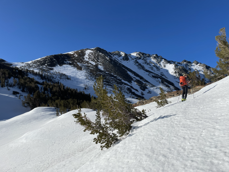
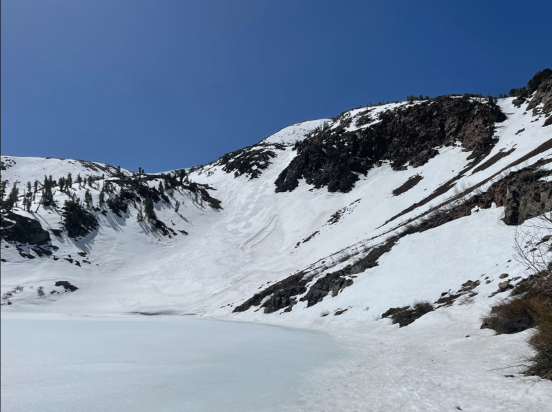
Virginia Lakes Drainage - Early day corn, waning coverageSigns of Unstable Snow
Recent Avalanches?
YesCracking?
None ExperiencedCollapsing?
None ExperiencedSnow Stability
Stability Rating:
Very GoodConfidence in Rating:
HighStability Trend:
SteadyKey Points
- With rising temperatures, timing is more important & earlier is better than in past weeks. Snow at 11200′ was almost borderline too wet and soft at 10:50am on E aspect
- Coverage is waning, so if you are unfamiliar with the state of an area, have a plan B (& maybe a C!)
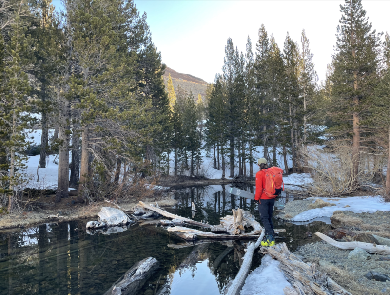
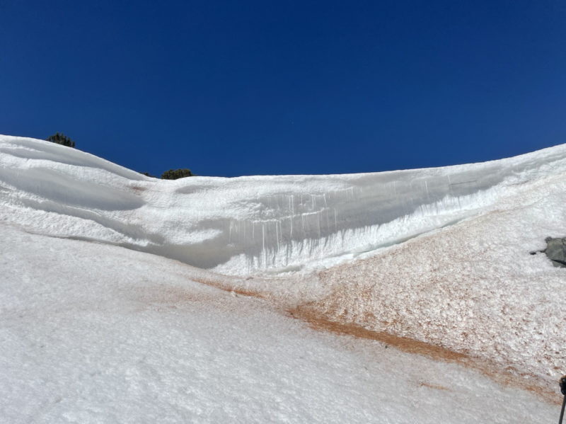
- Snow bridges to cross creeks are getting increasingly weaker and harder to find. Take your time picking your best option
- Wet loose activity has been present, but with warming temperatures will be even more on the rise. Stay vigilant
- Spring is here, and Mono Cone is open for the season!
Media
Advanced Information
Weather Summary
- 0712 / VA Lakes TH / 9865′ / Mod W wind / CLR / AirT = -4.2°C
- 0811 / 10052′ / N aspect / Calm / CLR / AirT = 2.3°C / BootPen = 2cm
- 0837 / 10441′ / N aspect / Mod wind, shifting / CLR / HS = 23cm / AirT = 5.4°C
- 0950 / 10801′ / NE aspect / Strong N Wind (over col) / CLR / AirT = 7.1°C / BootPen = 8-24cm
- 1115 / 10561′ / NE aspect / Mod W wind / CLR / AirT = 7.3°C
Avalanche Observations
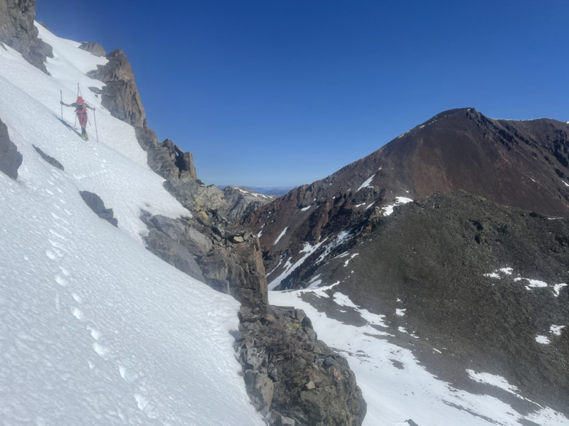
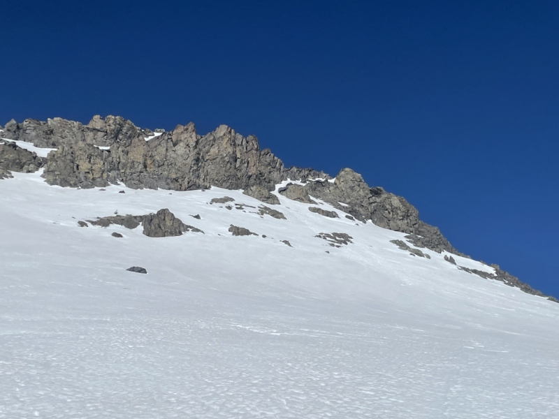
Observed evidence of a past wet loose slide — probably from the day prior — near the summit of the peak W & above Moat Lake. Estimations made from ~100′ away on bootpack.
NE-Facing/~37° start zone / 11100′ / Length = 200′ / Width = 60′ / R2 / D1 / WL / O / N
=
Snowpack Observations
Left home with very low expectations but plans to investigate coverage both in Lundy & Virginia Lakes drainages, hoping to venture down VA Lakes, up Excelsior, and down Lundy. We, however, had several backup plans as coverage does not seems to be in anyone’s favor this season. While heading up Lundy Canyon in the dark, we found a large snow drift in the road .9mi from the TH. We left a vehicle here, and with the sun just beginning to rise we could tell that we’d have a significant walk, even without the extra .9mi down Lundy to the car if we made it up Excelsior and down the E Face.
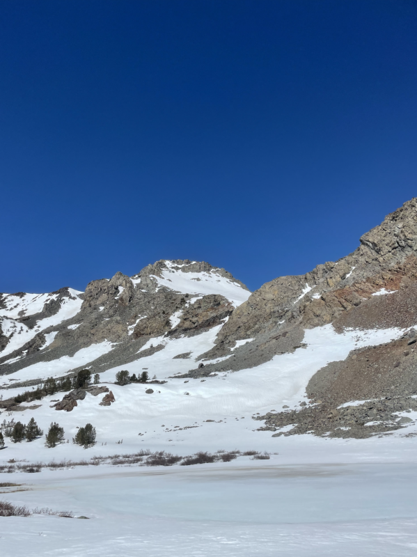
We then headed up VA Lakes drainage. Spring conditions made travel a bit more thoughtful: snow bridges over creeks were waning fast, several dirt patches where the summer trail (especially above Cooney Lake) was completely exposed, going straight to firm snow where kicking steps without crampons in between these patches, avoiding only partially frozen lakes.
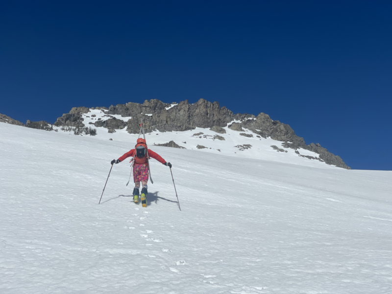
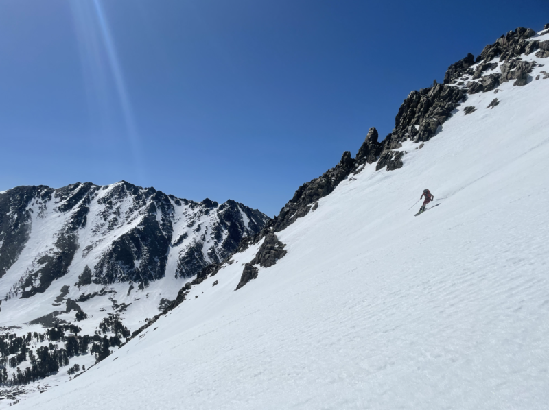
As we headed back into the canyon, it became clear that coverage going over the pass was not adequate to even allow our Type 2 fun adventure we had hoped for. N aspects at higher elevations showed evident wind scouring. We headed up to the peak to the W and above Moat Lake where the boot pack was firm and supportable down low, though strong N wind ripping over the col almost knocked us over on several occasions. Boot pen increased as time went on and we gained elevation: proving mostly okay to travel through but at the end punching through to mid thigh. Dropping at 1050, snow on this NE aspect at 11200′ was approaching being a concern for wet loose. Perfect corn on the way down, as we made some more turns in the VA Lakes drainage before heading back to the car via the chute off of Black Mountain down to VA Lake.
