Basic Information
Observation Details
Observation Date:
December 27, 2022Submitted:
December 27, 2022Observer:
Everett Phillips | ESAC ForecasterZone or Region:
Convict CreekLocation:
McGee Creek to Tobacco FlatSigns of Unstable Snow
Recent Avalanches?
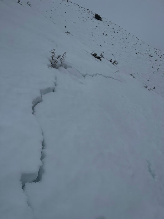
None ObservedCracking?
IsolatedCollapsing?
IsolatedCollapsing observed below 8000′ in the sage zone, where shallow HS and full depth saturation combined to weaken the snowpack. No signs of instability above 8000′.
Key Points
Went up and over McGee to get a sense for changes in precipitation type and rate with elevation.
- Snow levels and temperatures fell throughout the day.
- Snowfall intensity increased with elevation. Near treeline (10000′ to 10700′) snow was falling at 5-10cm per hour.
- Winds were light mid-slope, but moderate to strong on ridges.
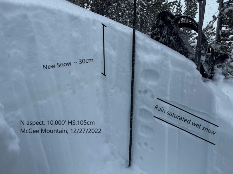
- I found evidence of rain at the start of the storm within snowpack up to 10000′ (see photo in gallery)
- There was 30-60cm of new snow above 10,000′
Good to be out storm skiing in the maritime!
Media


Advanced Information
Weather Summary
Cloud Cover:
ObscuredTemperature:
26 F @ 10,000'Wind:
Strong , SW
Terrain Use
Full avoidance mode today. I got into some steeper terrain below 9000′ where the ground anchors were visible above the snow surface (HS below threshold for slab avalanche activity). When it rains on a weak early winter snowpack, I tend to be careful about staying out of runouts of avalanche paths above me.
Close