Basic Information
Observation Details
Observation Date:
December 28, 2022Submitted:
December 29, 2022Observer:
Steve Mace | ESAC ForecasterZone or Region:
McGee CreekLocation:
McGee to Lee Vining -Natural avalanche activity along the 395 corridorSigns of Unstable Snow
Recent Avalanches?
YesCracking?
None ExperiencedCollapsing?
None ExperiencedKey Points
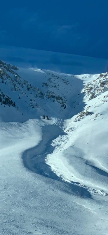
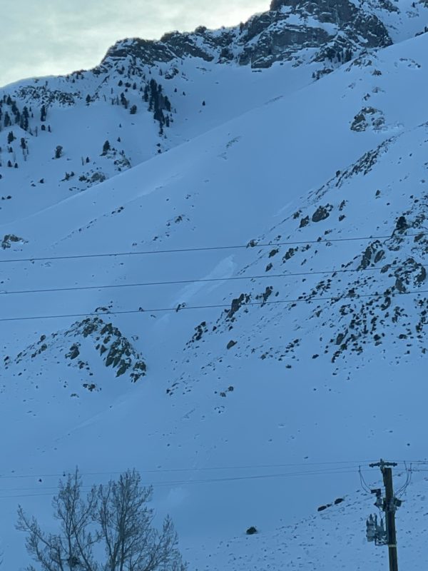
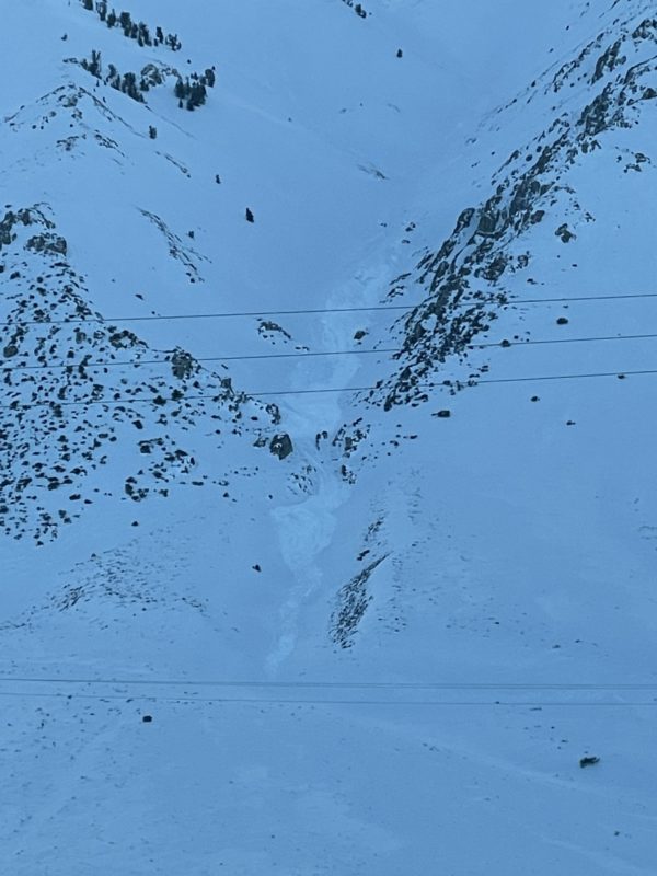
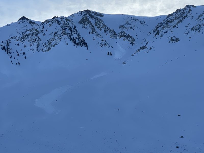
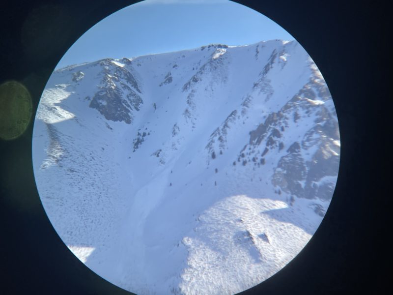
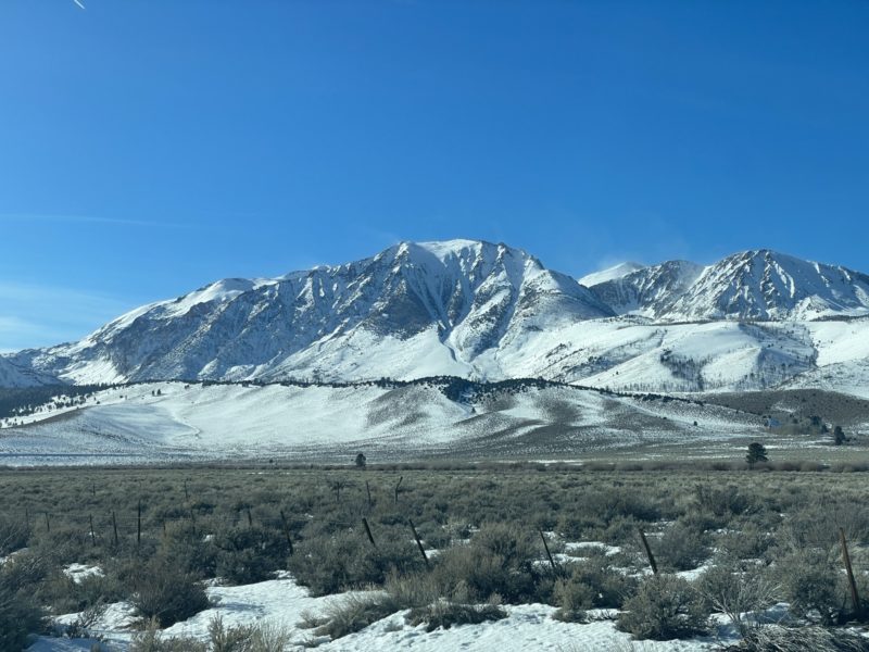
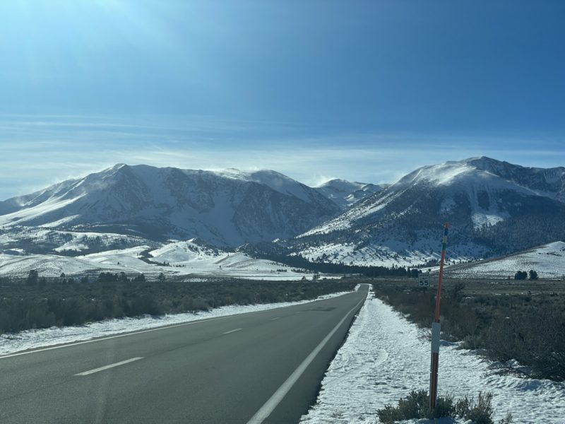
Took a drive around the range today to look for avalanche activity along the 395 corridor in the northern half of the range. The most significant activity I observed was across McGee Mountain. Several paths ran on the Northerly and Easterly aspects. Large crown lines were visible in several of the higher elevation start zones though many paths have been covered by more recent wind transport making exact size estimates difficult. Notably the debris fans look to me wet in nature suggesting that Wind slab avalanches may have entrained significant amounts of wet snow as they moved down in elevation. Loose wet activity may have also occurred during the rain on snow event early in the storm.
June area
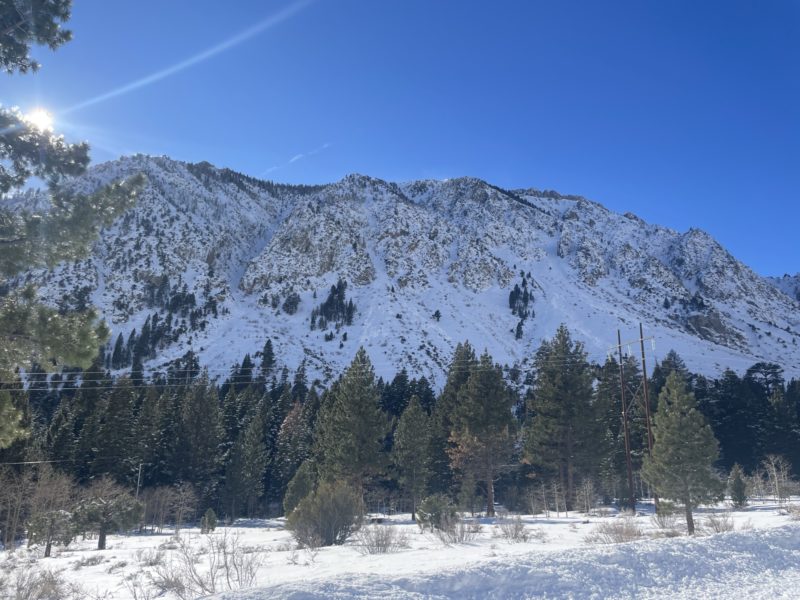
We received reports of a large avalanche on mt wood this morning visible from the town of June Lake. I was unfortunately unable to put eyes on this slide. The light was not working in my favor which could have been my issue. I did however observe several d1.5-2 naturals on the steep easterly slopes above Silver lake and off the north end of Carson peak.
June to Lee Vining
The only avalanche I was able to see clear features of between Mt wood and Gibbs peak was on the steep north face of Mt Wood. Again, features were muffled by continued snowfall and wind transport post release, but I would estimate at least size D2 in size
Lee Vining
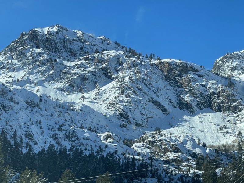
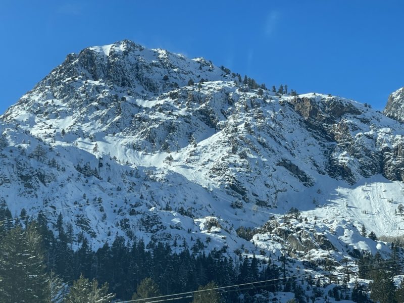
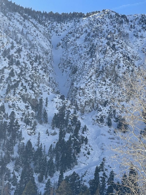
Several debris fans are visible from the Banana Chutes to the Power plant bowl. These appear to be very similar to the activity visible on McGee. What may have started as wind slab avalanches above the rain line entrained quite a bit of wet snow before coming to a stop. Most debris fans suggest relatively small avalanches D1-2 at most.
Media
