Basic Information
Observation Details
Observation Date:
February 4, 2023Submitted:
February 4, 2023Observer:
Geoff Unger | Key ObserverZone or Region:
Mammoth LakesLocation:
Mammoth Lakes Basin Weather and Surface Snow ObservationSigns of Unstable Snow
Recent Avalanches?
None ObservedCracking?
None ExperiencedCollapsing?
None ExperiencedSnow Stability
Stability Rating:
GoodConfidence in Rating:
HighStability Trend:
SteadyKey Points
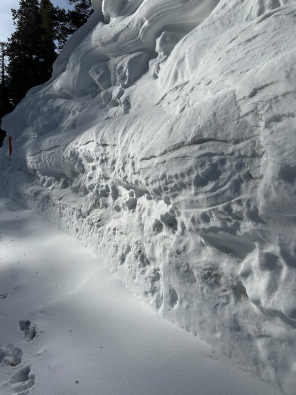
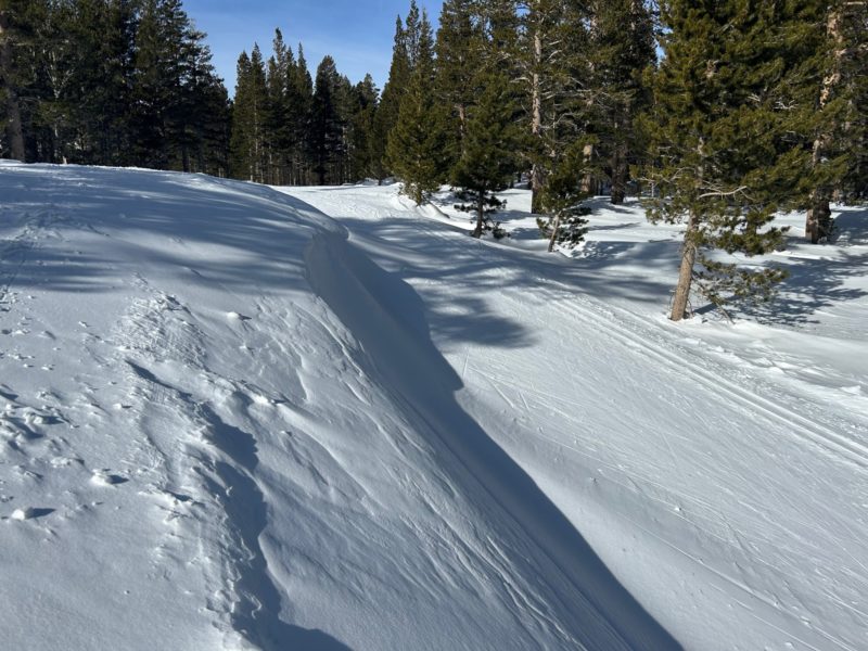
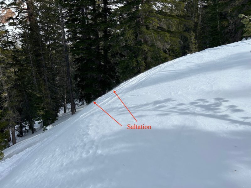
This week has been a lot of wind with little wind slab formation. The wind at low and mid elevations was strong enough for transport, but the actual transportable snow was limited.
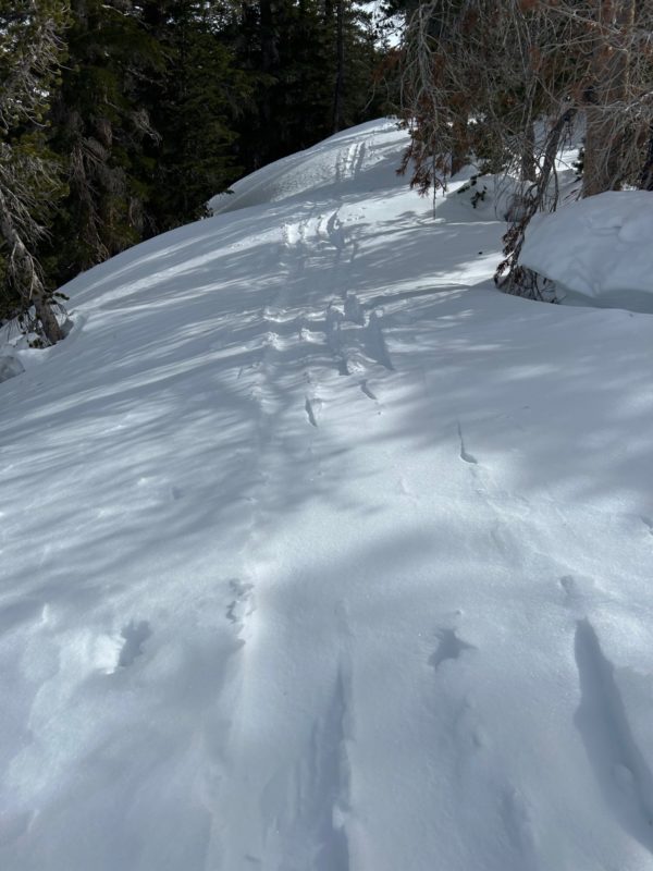
More significant was looking at surface conditions in front of the inbound storm. Surface facets and other relatively weak layers near the current surface snow may accentuate any new snow instabilities.
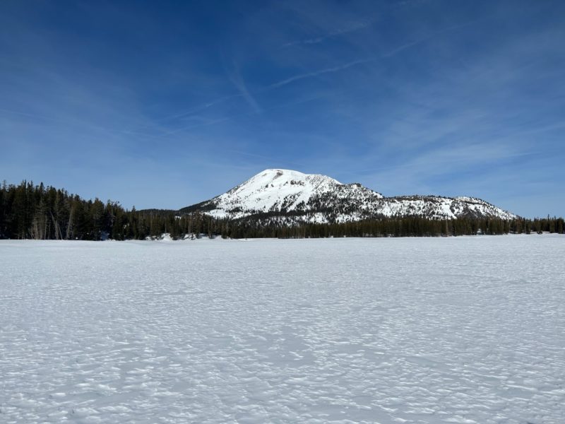
See photos for a series of relevant wind transport and other surface observations from today.
Media
Advanced Information
Weather Summary
|
Location |
Lake Mary |
|
Time |
1215 |
|
Elevation |
9400 |
|
Aspect |
NE |
|
Sky |
-OVC |
|
Tair/Tsurf/T20 |
0 degrees C |
|
Precipitation Type/Rate |
NO |
|
Wind |
L-SW gusting M |
|
Blow Snow |
Prev |
|
Surface Form/Size |
FC 0.5mm |
|
HST |
0cm |
|
HS |
320+ |
|
Pen Boot/Pen Ski |
10cm/3cm |
|
Comments |
Some drifting possible in this location. |
