Basic Information
Observation Details
Observation Date:
February 6, 2023 - February 7, 2023Submitted:
February 7, 2023Observer:
Clancy Nelson | ESAC ForecasterZone or Region:
Bishop CreekLocation:
Bishop Creek - Stubborn Wind SlabsSigns of Unstable Snow
Recent Avalanches?
None ObservedCracking?
IsolatedCollapsing?
None ExperiencedKey Points
I headed out to the Bishop area to test wind slabs and see if the new snow was forming a slab over buried weak layers.
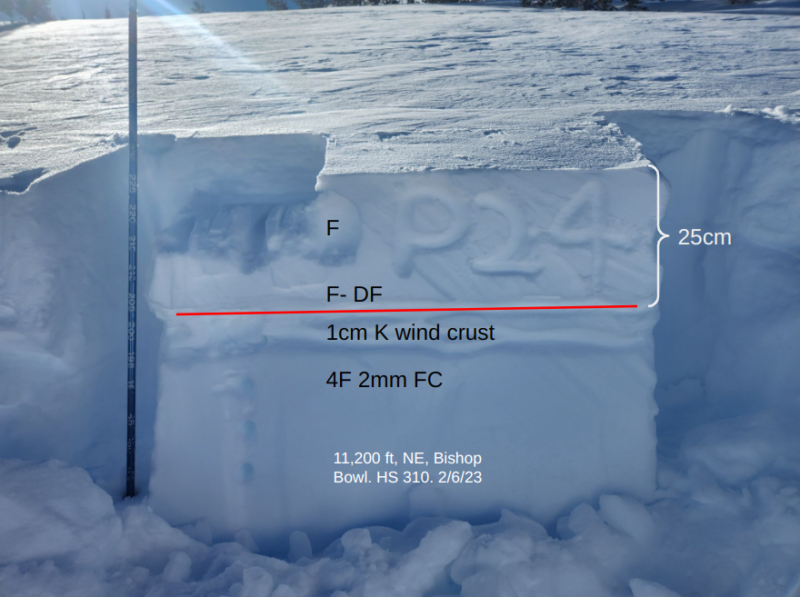
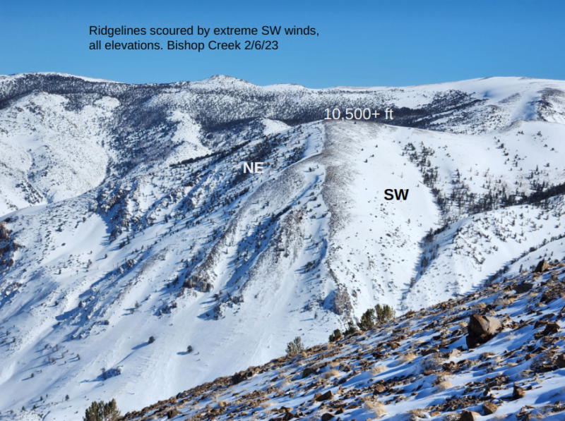
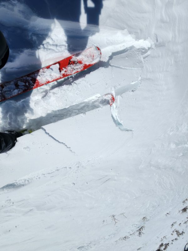
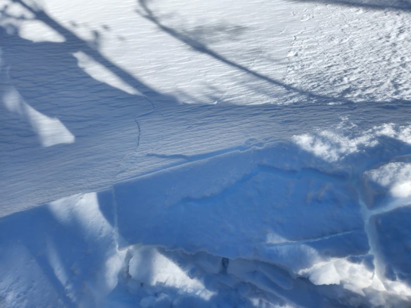
- The only wind effects from north wind seemed to be above 12,000 feet. Below that elevation, all wind slabs were deposited by southwest winds over the past 48 hours. They were stubborn, though some cracked underfoot or propagated in snowpack tests. They were up to a foot thick and sit atop old windboard everywhere I looked.
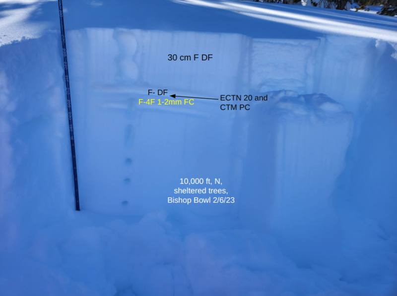
- The new snow has not yet consolidated into a slab over weak facets buried underneath. I got inconclusive test results at the interface of the new snow and the facets in a test pit at 10,000 feet in sheltered trees.
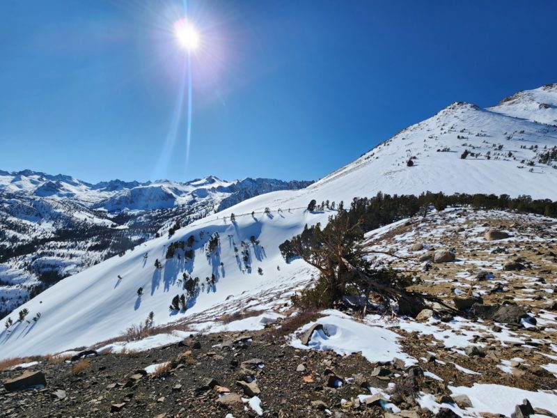
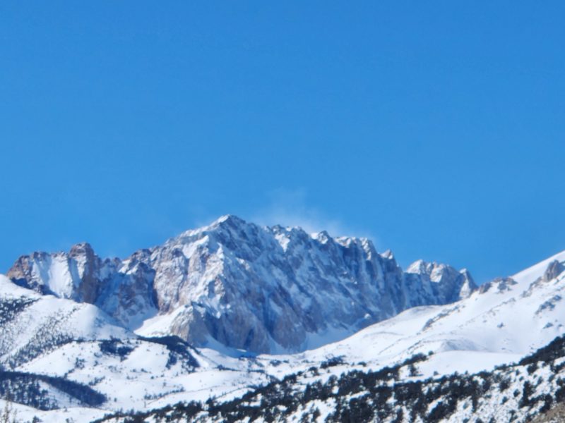
- Winds were calm to light below 11,500 feet. It was very warm in the sun and solar aspects below treeline were developing a sun crust. Shady aspects were cool with dry snow. Strong northerly winds periodically blew snow banners off of the higher peaks and passes. These winds increased around 3 pm and consistently blew snow above 12,000 feet until the early evening.
Media
Advanced Information
Weather Summary
Cloud Cover:
ClearTemperature:
Teens to low 20s on shady aspectsWind:
Light , N
Warm in the sun, cool on shady northerly aspects. Strong N wind above 12.000 feet with perioding blowing snow from the higher peaks. Those winds increased after 3 pm, with intense blowing snow into the evening.
Close
