Observation Details
Observation Date:
March 20, 2023Submitted:
March 20, 2023Zone or Region:
Bishop CreekActivity:
Skiing/SnowboardingLocation:
Wilkerson SkiingObservations
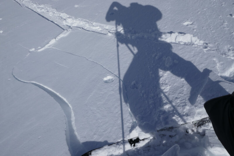
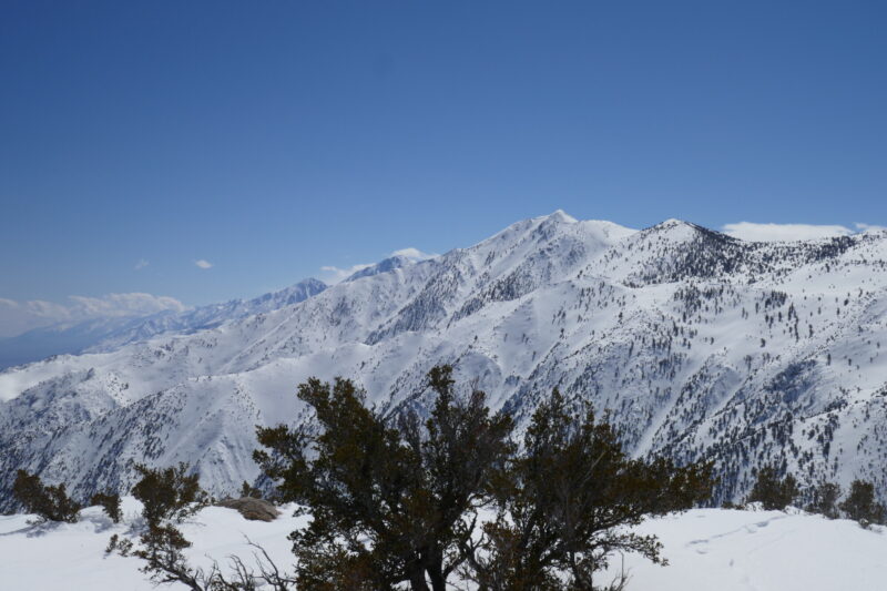
Skied Bishop point today and found pretty good conditions despite the instability in the rest of the forecast zone. This is a low elevation feature, and it sees less weather than the mountains up Bishop Creek given its location. We found patchy new snow that had been blown around, ranging from none to about a foot (the max I saw today). There was a fresh windslab, but it didn't propogate enough and wasn't deep enough to convince us to turn around. Propogation also would have been limited by the high local variability, sometimes going from slab to no slab in 10-15'. Near the ridge the windslab lessened and the skiing was pretty fun. Conditions were mostly dust on crust and kind of grabby crust, but we found some powder turns up high and lots of corn down lower. Found 235cm of snow probing at 8500'. We skied to around 5900'. Lots of big avalanche debris from slides that ran over the prior storms.
This location isn't really applicable to the rest of the forecast zone, since it is so low and sees so much less weather than other areas more commonly skied. My assumption is that the danger is scaled down here but would be scaled up significantly nearer to Bishop Creek and up above Big Pine creek (areas that see more weather). If the wind slabs we found were scaled up they would be very concerning.
Signs of Unstable Snow
Did you see shooting cracks?
Yes, WidespreadDid you experience collapsing or whumpfing?
NoMedia


