Basic Information
Observation Details
Observation Date:
March 21, 2023 - March 21, 2023Submitted:
March 21, 2023Observer:
Steve Mace | ESAC ForecasterZone or Region:
Mammoth LakesLocation:
Pano dome- touchy storm and wind slabsSigns of Unstable Snow
Recent Avalanches?
YesCracking?
IsolatedCollapsing?
IsolatedKey Points
Went for a quick walk about in the Mill City area this afternoon to get an idea of precip rates and to see how this latest round of snow is stacking up.
Precipitation rates were impressive along my tour today with periods of snowfall around 2″ an hour.
There seemed to be a bit of a lull in the late afternoon but this seemed to be relatively short-lived.
Accumulations averaged about 10″ or so along my tour with the new snow quite low density and very slightly upside down. (F+/F)
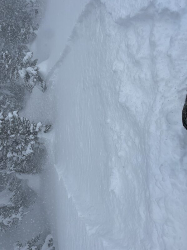
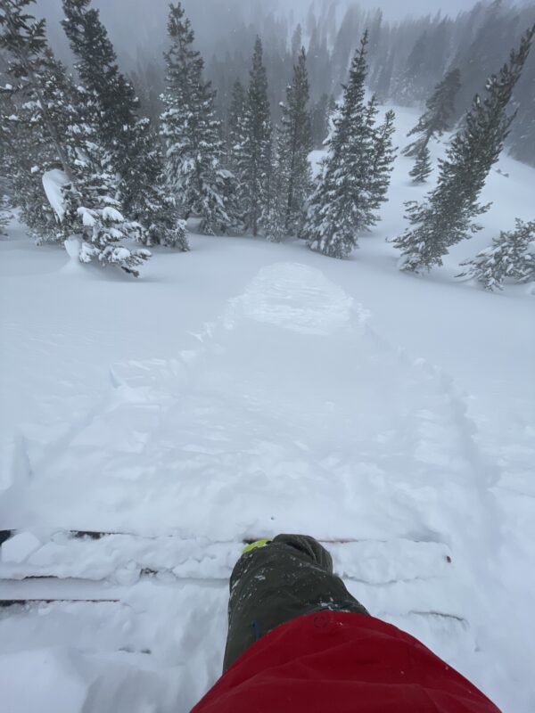
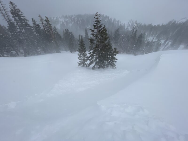
Widespread signs of instability were observed. Avalanches were very easy to initiate on test slopes with slope angles over 30°. I observed both storm slab and wind slab activity and I would classify them as touchy. In addition, I found it very easy to initiate shooting cracks in terrain with relatively shallow slope angles where a slab was less likely to release.
Extreme winds out of the SW were very productive at moving snow near treeline today. Visibility was near zero at times at the summit of pano dome and exposed skin was in quick danger of frost nip. Wind deposits were about 4f hard and recent slab development was observed to be up to 12″ deep. I also observed some decent shooting cracks that reached into deposits from our last round of winds in the 19/20 time frame.
Media


