Basic Information
Observation Details
Observation Date:
December 23, 2021Submitted:
December 23, 2021Observer:
Chris Engelhardt | ESAC ForecasterZone or Region:
June LakeLocation:
June Lake AreaSigns of Unstable Snow
Recent Avalanches?
None ObservedCracking?
IsolatedCollapsing?
None ExperiencedSnow Stability
Stability Rating:
FairConfidence in Rating:
ModerateStability Trend:
WorseningMedia


Advanced Information
Weather Summary
Cloud Cover:
ObscuredTemperature:
31.9FWind:
Strong , SW
31.9F @ 1100am @ 8600ft above the June Lake Loop with sustained 45-50mph southerly winds with gusts up to 60mph. It was snowing heavily at this point with rates of ~2inch/hour.
Snowpack Observations
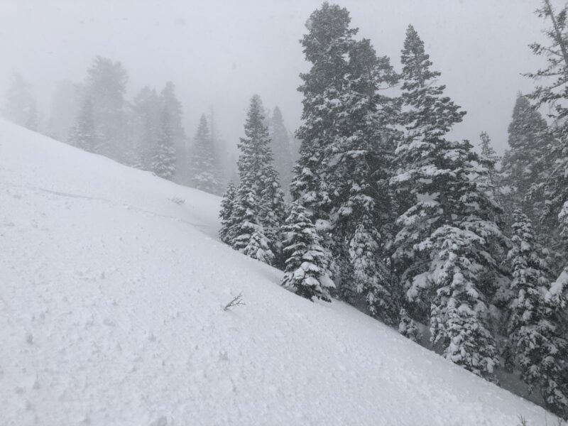
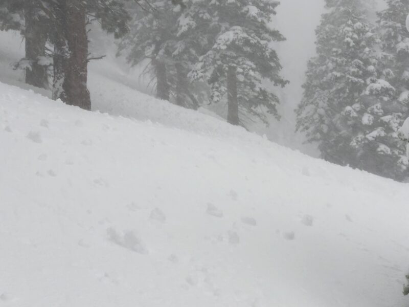
I drove up the 395 corridor from Bishop to June Lake under rainy conditions this morning. Deadman summit was just high enough that it was a mixture of sleet and rain around 10am. Precipitation turned to snow once I ascended above 8300ft out of the June Lake loop and with the conditions as they were today I did not go higher than 8600ft. At 1100am there was an average of 12-16″ of new snow and it was snowing heavily. The new snow was very moist and in the lower elevations where accumulations were minimal it was pretty saturated. Minor roller balling was occurring from tree bombs at 8600ft elevation and at this point I could not get any loose wet point releases to initiate on small steep test slopes. It did made me think that it would of been worth mentioning potential loose-wet point release concerns in the morning forecast, but with more rain than snow at the lower elevations and therefore less new snow accumulation it did not seem a problem in the early part of the day with forecasted cooling temps.
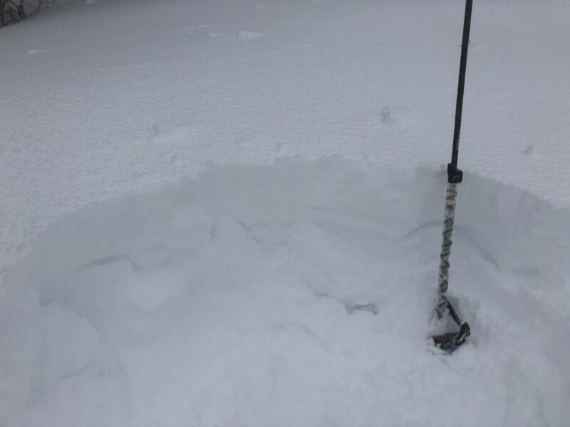
There was already some minor wind slab development of 20+inches in depth that was cracking, but not moving on NE aspects and I did not venture into any exposed terrain to further investigate.
Soggy day out there and a good one to go home and make soup and the let storm do its thing….better to come back another day when climatic conditions are drier or colder and avalanche hazard reduced. Lower elevation skiing was quite hazardous due to the viscous and sticky snow…there’s a whole season ahead and its looking like it will be a good one, so I wanted to avoid a knee strain or worse.
https://www.youtube.com/watch?v=y2O5St-qCXw
