Observation Date:
March 5, 2022
Submitted:
March 5, 2022
Observer:
Chris Engelhardt | ESAC Forecaster
Zone or Region:
June Lake
Location:
June Lake Area 1-2" up to 9700' 5-6"leeward northerly aspects in the alpine
Recent Avalanches?
None Observed
Cracking?
None Experienced
Collapsing?
None Experienced
Stability Rating:
Good
Confidence in Rating:
High
Stability Trend:
Steady
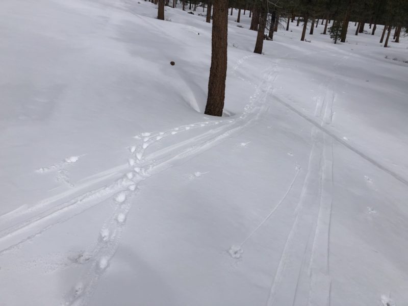
- Cold temperatures and brokens skies with occasionally flurries marked the day skiing in the woods in the June Lake area.
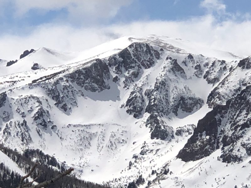
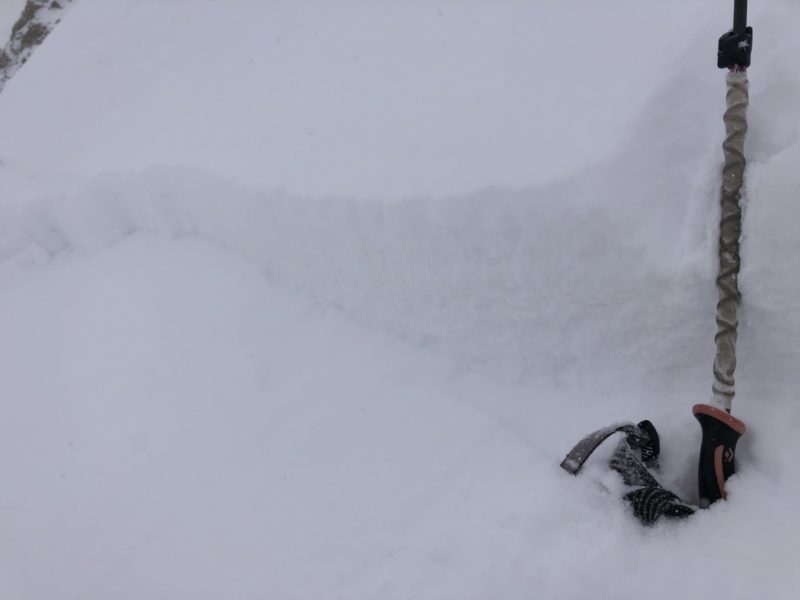
- New snow totals were 1-2″ up to 9700ft. Looking at the Negatives from afar, I saw one skier lay down a nice looking track with some depth to the turns in the new snow.
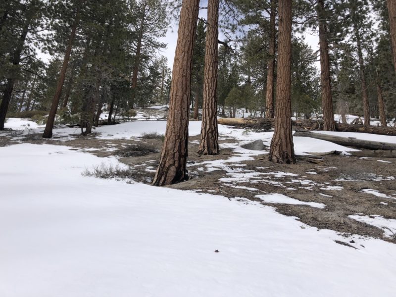
- Old snowpack in the lower elevation trees has a robust melt-freeze crust, I imagine the moist and likely some rain yesterday added to forming a thin crust on snow surfaces below 9500ft. It was catchy enough to make skiing just a bit grabby today underneath the new surface dust.
- Due north facing surfaces above 9500ft in the trees were quite faceted upwards of the top 15cm of surface grains which provided for soft turns.
- Total snow depths were 70cm at the most below 9500′
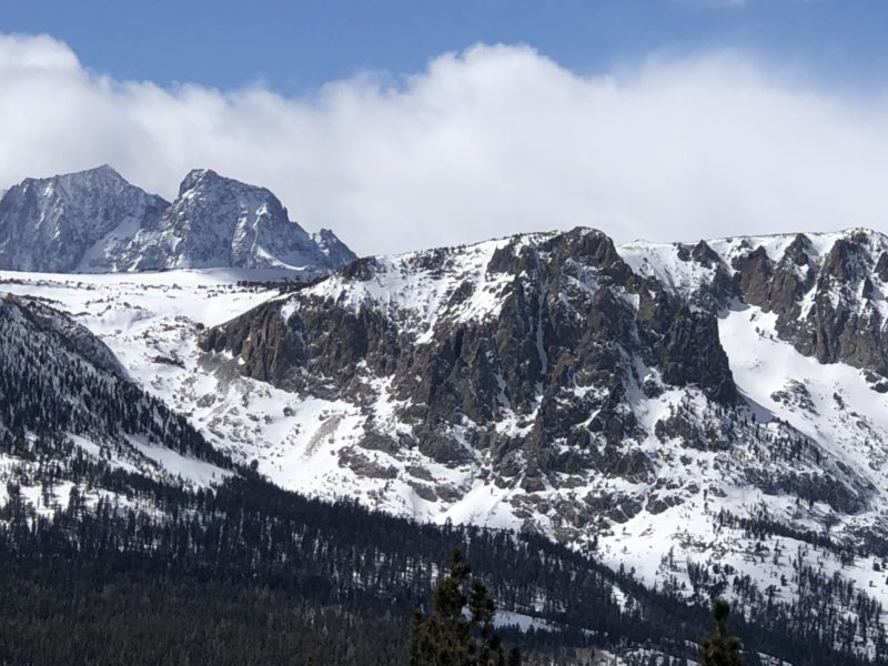
- I wasn’t able to get into the higher elevations of the backcountry today, but I imagine there was a decent load and certainly some soft wind slab in terrain conducive to capturing snow. Moderate Hazard was a good call for the upper elevations today on the northerly through easterly aspects. Ritter and Banner peaks looked to have gotten a decent amount of snow with the cliff faces cloaked fairly well with new snow.
- Took some turns in the afternoon at the big ski area and found great conditions. They reported 3-4″, but there was quite a bit more off the top of the mountain with the wind loading and continuing light snowfall. Cold temps and on-going snowfall through closing hours made for great skiing.
