Basic Information
Observation Details
Observation Date:
December 8, 2021Submitted:
December 8, 2021Observer:
Chris Engelhardt | ESAC ForecasterZone or Region:
Mammoth LakesLocation:
Sherwins-the HoseSigns of Unstable Snow
Recent Avalanches?
None ObservedCracking?
None ExperiencedCollapsing?
None ExperiencedSnow Stability
Stability Rating:
Very GoodConfidence in Rating:
HighStability Trend:
SteadyMedia
Advanced Information
Weather Summary
Cloud Cover:
Mostly SunnyTemperature:
31FWind:
Strong , SWSnowpack Observations
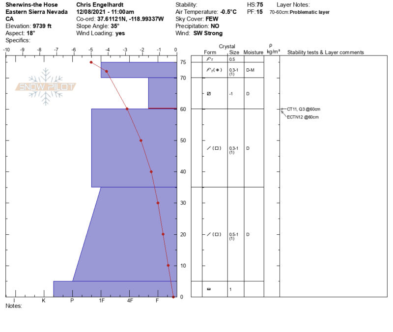
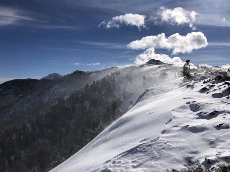
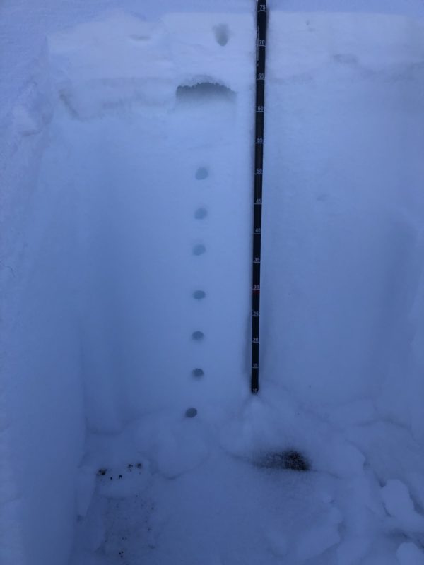
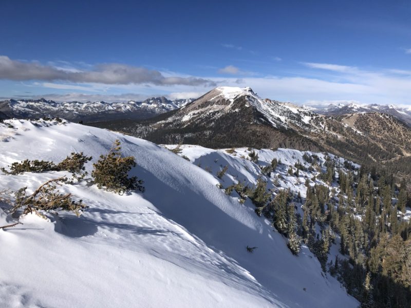
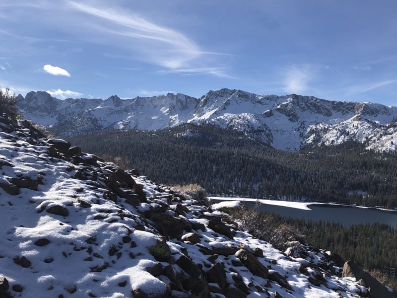
I hiked up the Sherwin Ridge from the Lakes Basin gate in order to get a look at the snow on the northerly side of the Ridge today. It was just under freezing this morning, but there was a nasty 45-50mph consistent SW-WSW wind blowing that made it a bit brisk. There was a light pasting of .5-1″ of new snow from yesterday’s little storm which made the whole landscape look a little fresher and it felt like winter was coming on today for real. The wind was transporting the new snow to the N-NE aspects of the Sherwin ridge and I found a bit more new snow (2-3inches) around a 100feet down from ridgetop in a 35deg starting zone. The storm yesterday had come in wet and the new snow formed a thin pasty layer over the old snow surface which was looser, softer, and composed of near-surface facets. Overall though the snowpack here which was just over 2feet+ deep and was pretty robust and consolidated. This was nice to see that the deeper snowpack in this wind loaded area wasn’t faceting or “rotting” out to extensively except for the top surface 4-6″. The old snow surface here has seen some near surface faceting under 4 weeks of cool clear nights since the last appreciable snowfall fell Nov 9th. The shallower snowpack areas <2feet in lower elevation below 9000ft and areas that just have shallower snowpack, especially within shady sheltered terrain is where faceting of the snow is more advanced and the snowpack is overall a bit looser and weaker. The day got progressively grayer and the on-coming storm and scud of clouds was building to the west as I quickly hiked back down. Looking forward to the next trip up here when I surely should be on skis!!!
