Basic Information
Observation Details
Observation Date:
December 25, 2021Submitted:
December 25, 2021Observer:
Steve Mace | ESAC ForecasterZone or Region:
June LakeLocation:
Chicken Wing. Several signs of instabilitySigns of Unstable Snow
Recent Avalanches?
YesCracking?
IsolatedCollapsing?
None Experienced
Snow Stability
Stability Rating:
PoorConfidence in Rating:
HighStability Trend:
WorseningKey Points
Our key takeaways today,
- Stability was deteriorating this afternoon as our next storm event enters the area.
- Triggering an avalanche would be easy today in the right location.
- Terrain features over 30° in steepness were showing signs of instability, particularly in leeward catchment zones.
- Significant amounts of snow are being transported even below treeline.
Advanced Information
Weather Summary
Cloud Cover:
Mostly CloudyTemperature:
22°FWind:
Strong , SW
Partly cloudy skies prevailed this morning with intermittent snow showers and strong winds out of the SW. looking North of our location the storm appeared to have arrived a bit earlier with June lake, and the mountains to the north socked in at around 9 am. non-the-less the storm moved into our area at around 11 am and by noon we were experiencing pretty heavy snowfall. Temperatures remained cold throughout the day with the added wind chill to make us glad to have our puffy layers.
Avalanche Observations
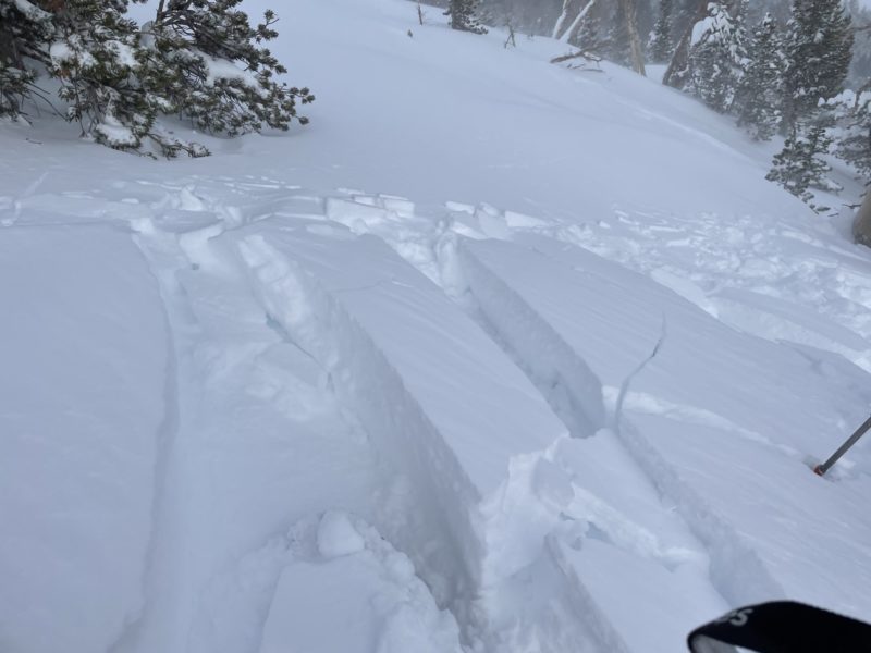
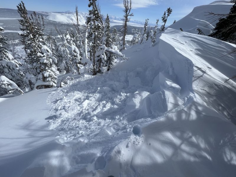
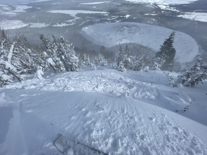
We triggered several small avalanches today. All were triggered intentionally. The most significant one was right of the ridge at 9700′. This sensitive windslab broke within the new snow and had a depth of around 40 cm. fresh cornices along the leeward side of the ridge were quite sensitive as well and triggered small pockets of WS below when they broke loose.
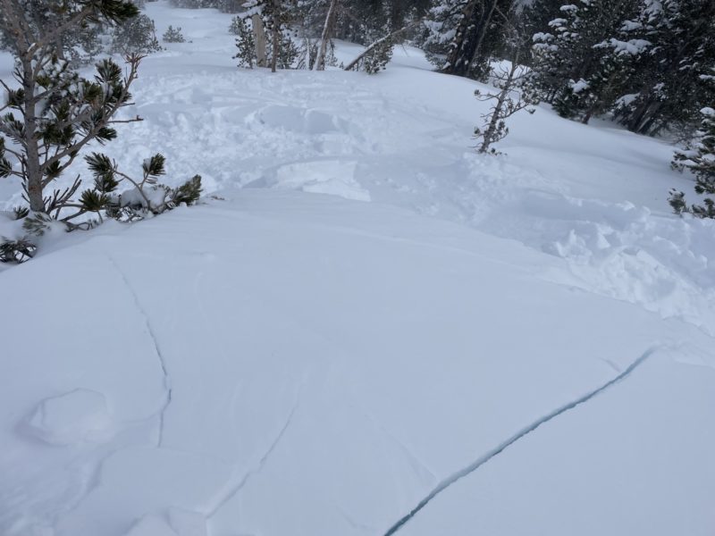
We also observed deep shooting cracks below treeline, in more exposed areas, and on steep test slopes the biggest of which was about 100′ long. Several of these terrain features also produced small avalanches 1-2 ft in-depth and running within the new snow. I believe we saw signs of instability supporting the potential for both Sensitive wind slabs as well as sizable storm instabilities.


