Basic Information
Observation Details
Observation Date:
February 6, 2022Submitted:
February 6, 2022Observer:
Chris Engelhardt | ESAC ForecasterZone or Region:
Mammoth LakesLocation:
San Joaquin Canyon-Variable and warming surfacesSigns of Unstable Snow
Recent Avalanches?
None ObservedCracking?
None ExperiencedCollapsing?
None ExperiencedKey Points
Another cutter blue sky day with mild temperatures and continued NE winds. 37degF @ 1230 @ 10000ft, 25mph NE winds at tree line with stronger velocities up higher in the Mammoth area.
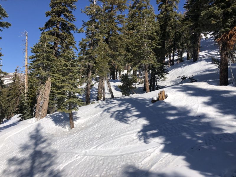
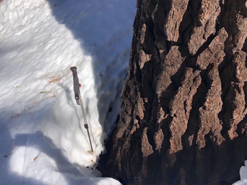
115cm -130cm total snow depth @ 8500ft on West aspect within Trees.
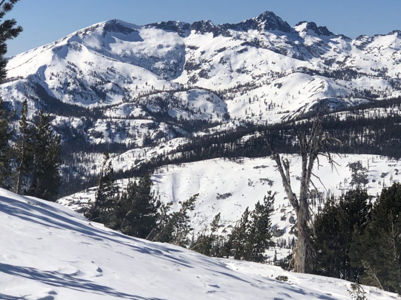
Overall snowpack and coverage in the southern Ritter Range looks quite good with excellent coverage on almost all aspects except for due South.
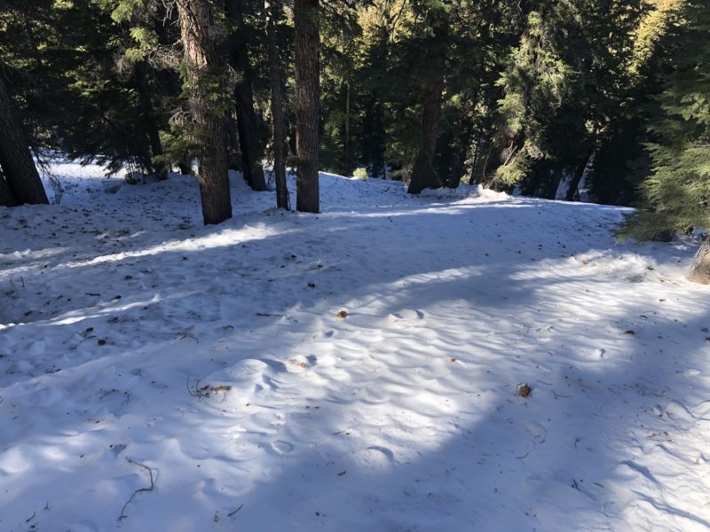
Westerly aspects today below 9000ft were moistening on the surface ~2-4cm above wintery type snow.
Northerly aspects down to 8500ft were still cold and wintery, the problem was travelling from shady to sunny aspects today…much glopping and sticky conditions within this transitional snow.
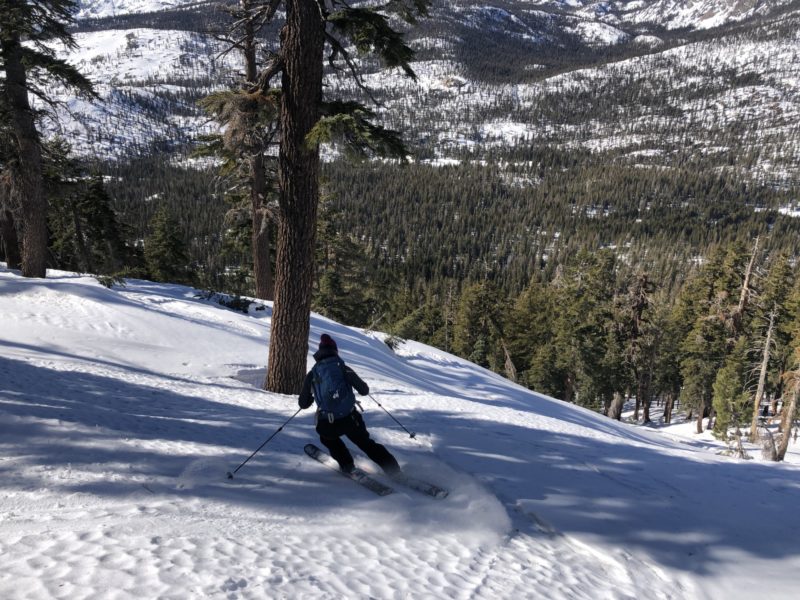
Still finding softer old faceted surface conditions (~6-10cm ski pen, 20cm boot pen) on northerly aspects, except that here in the San Joaquin canyon the snowpack surface is much more impacted by shedding tree bombs and melting snow compared to other sheltered tree areas in the forecast zone where trees did not hold as much snow in canopy and therefore didn’t bomb out the surface as bad. Hard to believe I’m even talking about this, but its an 0bservation.
Even firmer old wind board areas below tree line are beginning to break down and offer a bit less rigid travel on the surface.
Doldrums continue….
NO instability noted anywhere today.
Media
