Basic Information
Observation Details
Observation Date:
February 22, 2022Submitted:
February 22, 2022Observer:
Steve Mace | ESAC ForecasterZone or Region:
June LakeLocation:
Chicken Wing - Minimal new snow, cold temps, strong windsSigns of Unstable Snow
Recent Avalanches?
None ObservedCracking?
None ExperiencedCollapsing?
None ExperiencedSnow Stability
Stability Rating:
Very GoodConfidence in Rating:
HighStability Trend:
WorseningKey Points
- I toured to Chicken wing to survey new snow totals and to see if I could find any concerning wind slab development.
- The intensity of today’s snow showers diminished quickly as I left Mammoth heading towards the 395. Driving north along the highway it was clear that the most intense storm impacts were along the crest and in the Mammoth area.
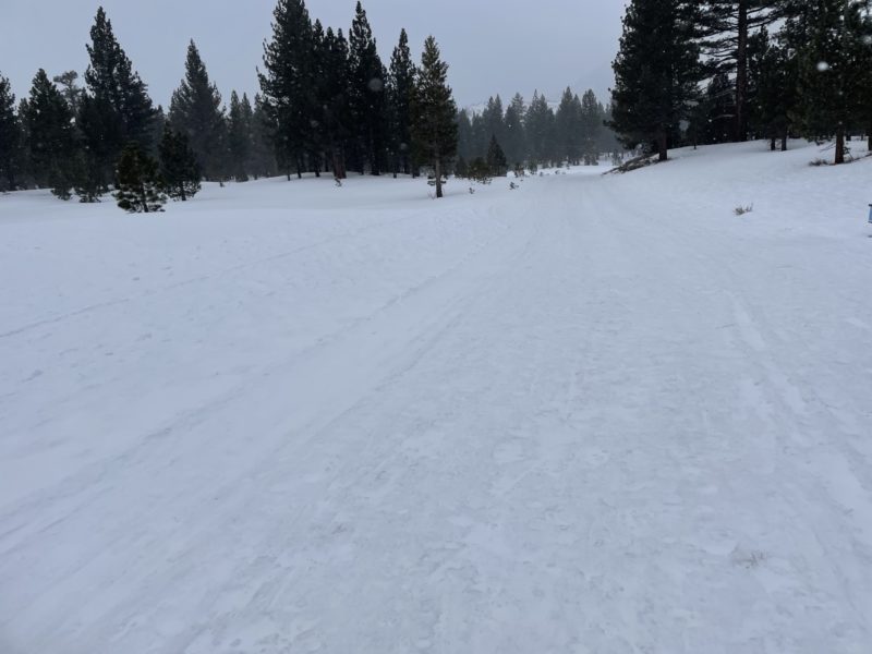
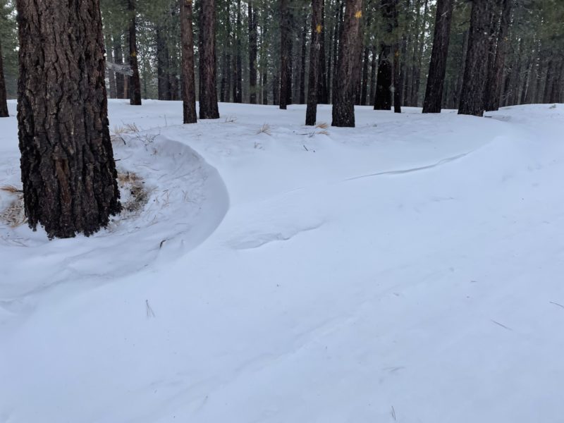
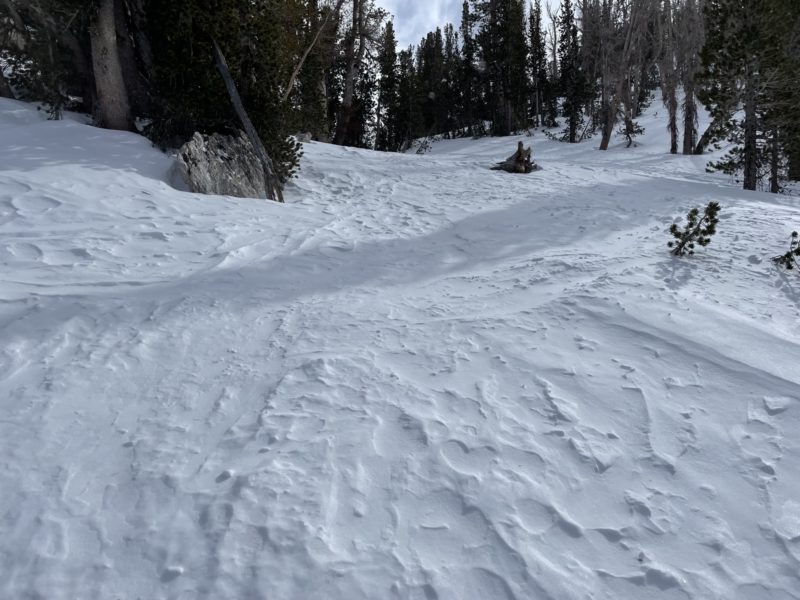
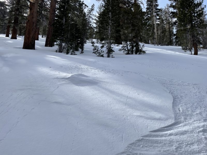
- Leaving the car late this morning there was barely a trace of new snow on the ground. I observed plenty of evidence of strong winds in the flats including wind textured surfaces, pooling of new snow in surface depressions, and some very minor drifting along the leeward side of the groomer road cut.
- I was able to make the ascent to the top of chicken wing without ski crampons but there were times when they would have been helpful.
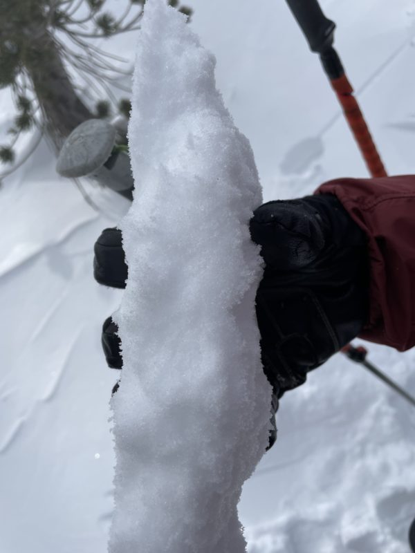
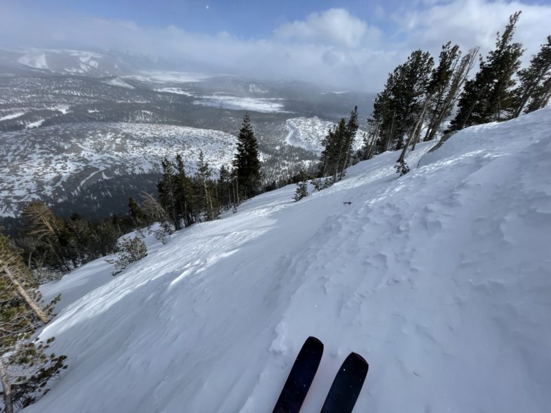
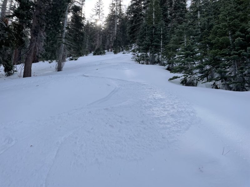
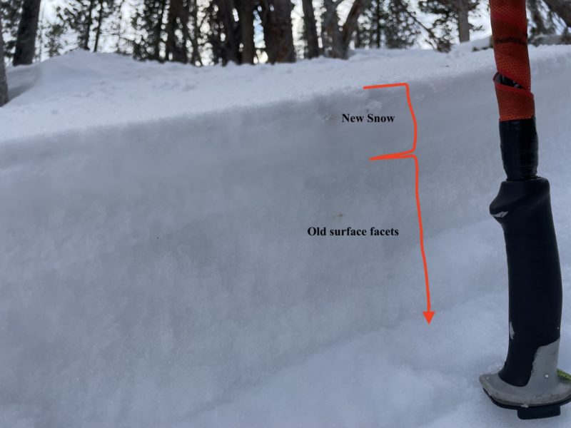
- Unfortunately, new snow accumulation was not substantially more as I gained elevation. On average I observed new snow totals from a trace to 1.5” with the max measured deposition of 4” in BTL catchment zones. The new snow that was present was quite light and fluffy and I did observe a decent amount of blowing snow at all elevations. However, I did not observe any concerning slab development on my tour today, even in the typical catchment zones along the summit ridge. to be honest the summit of chicken wing is more stripped then loaded with old snow surfaces exposed on both windward and leeward slopes.
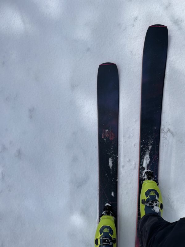
- I was able to find some pleasant turns in areas where the new snow is resting on old faceted surfaces, but these are becoming harder to find and identify. Old refrozen dinosaur tracks kept me on my toes and old surface crusts of varying thickness are widespread. Classic “Dust on Crust” conditions were the game today.
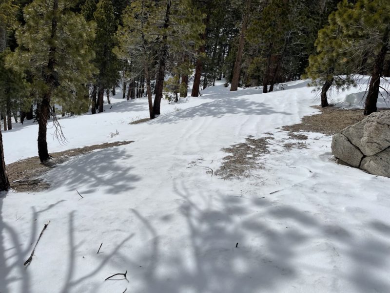
- In general coverage in this area, as in many others across the range, is getting quite thin. Dry patches are growing at lower elevations and obstacles like fallen trees, rocks, and bushes are reemerging making for more challenging navigation. On the upside even in areas with very thin coverage ~20cm~, the snowpack is still supportable, however, I don’t think this will last very long if we fall back into another extended warm and dry cycle.
Media
Advanced Information
Weather Summary
Cloud Cover:
Mostly CloudyTemperature:
15Wind:
Strong , SW
It was quite cold today with a high of 16° f measured at 9000’ at noon. Winds were very strong this morning out of the SW dropping significantly this afternoon to more moderate speeds with gusts into the strong realm. Snow showers were generally light (S-1)with the occasional period of S1.
Close
