Basic Information
Observation Details
Observation Date:
March 20, 2022Submitted:
March 21, 2022Observer:
Steve Mace | ESAC ForecasterZone or Region:
June LakeLocation:
June Lake BC - Significant wind transport, isolated wind slabsSigns of Unstable Snow
Recent Avalanches?
YesCracking?
IsolatedCollapsing?
None ExperiencedSnow Stability
Stability Rating:
FairConfidence in Rating:
HighStability Trend:
SteadyKey Points
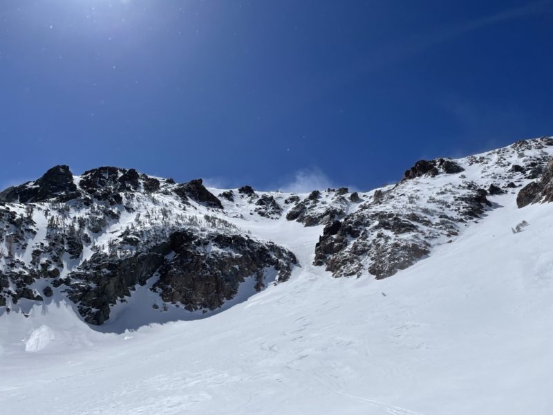
We toured off the top of J7 today and up the hourglass to the top of the negatives to survey new snow totals and to get an idea of recent wind transport and subsequent deposition.
2-4″ of new snow was measured above 9000′
Sunny skies and mild temperatures prevailed today however Strong winds out of the north were biting and made for a chilly adventure in the alpine today. while walking on the ridge today we commented on the risk of exposure due to the wind chill.
The strong winds were leading to significant wind transport today with significant flagging visible off the high peaks up and down the range. We also observed most exposed northerly terrain ATL being stripped back to old surfaces.
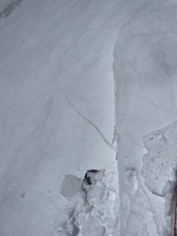
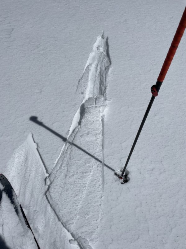
I observed some reactive wind slab development on southerly aspects off the shoulder of San Juaquin. While I did not observe any natural activity, I did initiate several shooting cracks about a foot deep and 20+ ft long on a test slope with roughly 34° slope angle. Subsequent hand pits failed easily on isolation and presented roughly 30 cm of 4F+ wind slab on top of about 5 cm of Fist hard new snow and a pencil hard old snow layer.
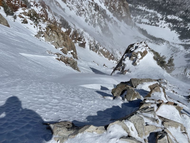
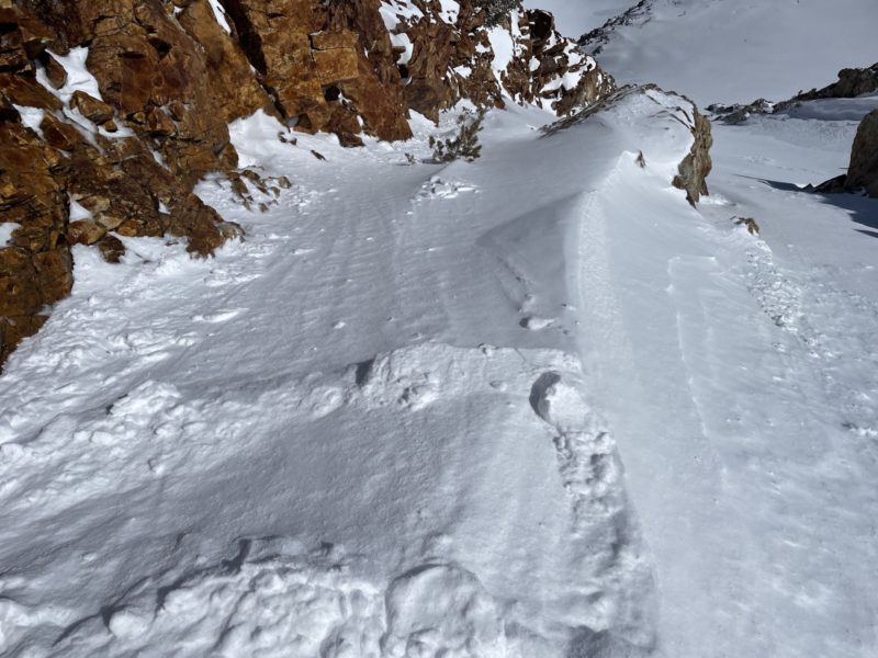
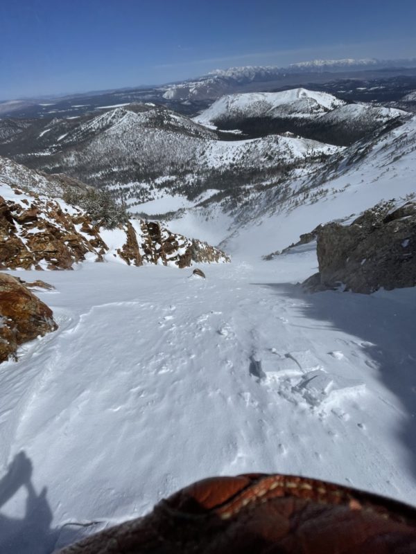
We decided to descend the negatives back to Yost meadow. Moving along the ridge to our chosen decent path we observed several small panels of wind slab along the ridge. while nothing here was bigger than a diner table, I noted they were quite sensitive.
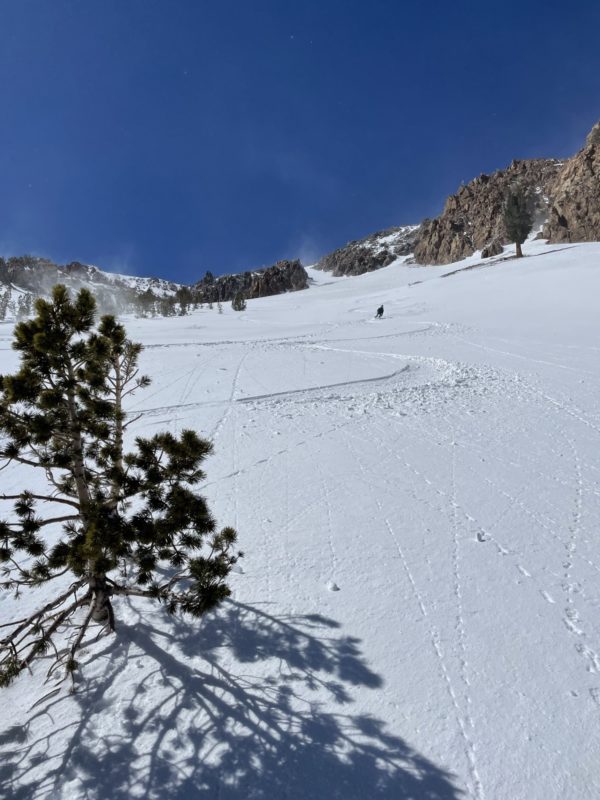
We also observed several smaller panels of WS on this more northerly aspect further down the slope. Cross-loaded areas near the skier’s left side of the gully were shallow and reactive and in one mid-slope depression below a small cliff band I kicked off a thin panel about 20 ft by 10 ft in size and about 3”-5” in depth. While we did not find anything of concerning size on our travels today these areas of unstable snow could easily cause a nasty fall.
The very strong winds today also seemed to do a good job of keeping surface snow from softening to concerning levels, particularly in exposed areas near and below treeline.
We did note some glopping on or skin back into June mountain and surface snow had a distinct upside-down feel in sheltered and sun-exposed areas BTL.
Media
Advanced Information
Weather Summary
Cloud Cover:
ClearTemperature:
30Wind:
Extreme , N
mostly cloudy skies and lingering snow showers seemed to clear out early this morning making way for sunny skies and mild temperatures. Winds were the real driver today with extreme winds out of the North and gusts around 100 mph along ridge tops. The wind chill was quite cold today and exposure concerns were real, particularly in exposed areas above treeline.
Close