Basic Information
Observation Details
Observation Date:
December 12, 2022Submitted:
December 12, 2022Observer:
Steve Mace | ESAC ForecasterZone or Region:
Mammoth LakesLocation:
Lakes basin - Recent avalanche activitySigns of Unstable Snow
Recent Avalanches?
YesCracking?
IsolatedCollapsing?
None ExperiencedKey Points
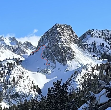
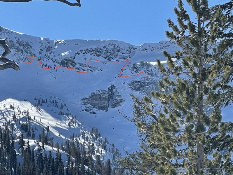
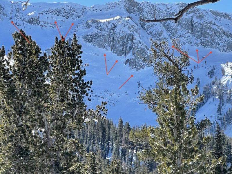
We ventured into the lakes basin today to get an idea of how our recent storm snow is settling in and to get eyes on Start zones along the crest.
- A plethora of crown lines were visible along the crest. All this recent avalanche activity appeared to have run during the loading event this weekend and are refilled to some extent, making accurate size estimates difficult. However, several crown lines appear to have propagated wide distances and around terrain features, I would not be surprised if most of these events ran on basal facets.
- Localized cracking was observed on small wind loaded terrain features.
- Storm totals averaged around 30” although I suspect we have seen some settlement.
- Ski pen changed drastically from windward areas to leeward areas even below tree line. SP averaged around 20 cm with favorable catchment zones holding closer to 40 cm.
- Overall, our new snow load has condensed quickly into a supportable layer in the areas we traveled today.
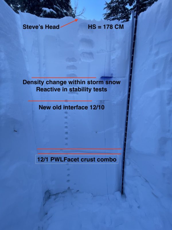
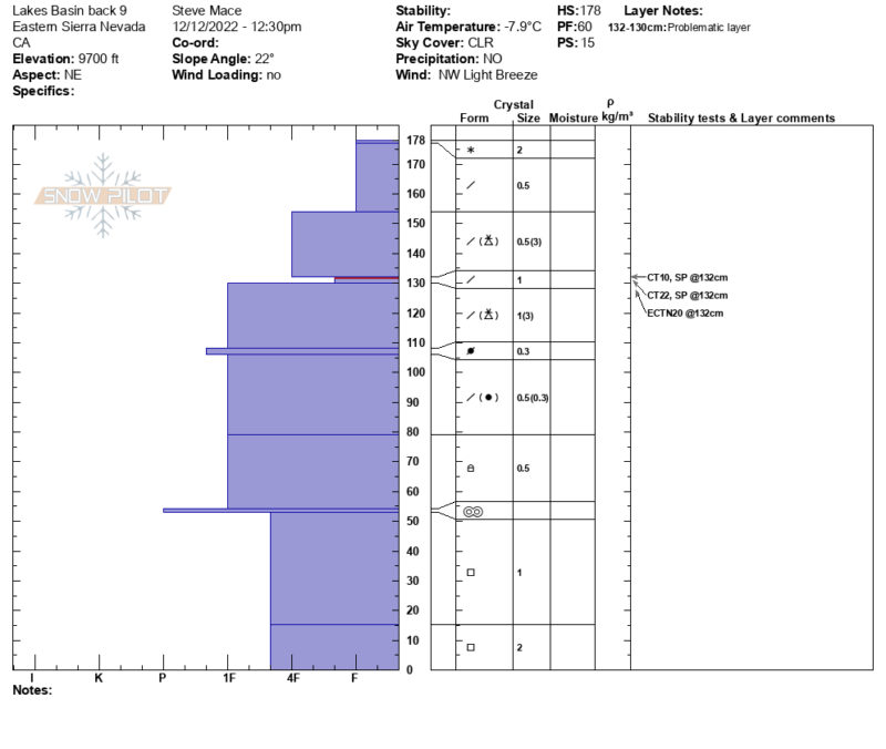
- We dug in at 9600’ on a NE aspect to get a look at the basal facets and to see if and how reactive they may be with the new load. HS= 178CM in this location with a largely right-side up and cohesive snowpack. Stability tests did highlight a layer of concern within the new storm snow. See snow pit for more details
Media
Advanced Information
Weather Summary
Cloud Cover:
Mostly SunnyTemperature:
17Wind:
Light , NW
It was a beautiful day in the mountains today with blue skies, cold temperatures and the occasional light breeze out of the NW.
Close