Basic Information
Observation Details
Observation Date:
January 29, 2023Submitted:
January 29, 2023Observer:
Steve Mace | ESAC ForecasterZone or Region:
June LakeLocation:
Chicken wing- minimal new snow, wind transportSigns of Unstable Snow
Recent Avalanches?
None ObservedCracking?
IsolatedCollapsing?
None ExperiencedKey Points
I left the car in the early afternoon in the hopes of finding more substantial snow accumulation.
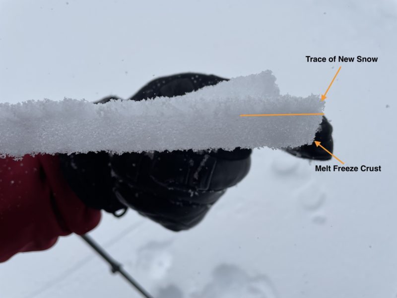
- A trace of snow was on the ground as i made my way across the flats around 1 pm. by 4 pm near the top of the feature, new snow totals ranged from 2-4 in with drifts as deep as 12″ in favorable catchment zones.
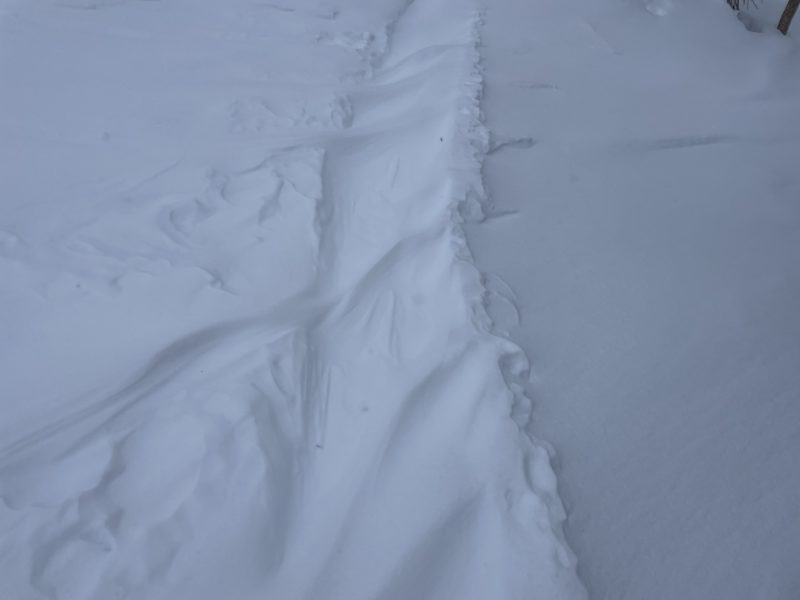
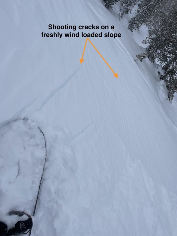
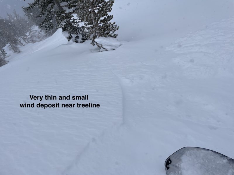
- Localized cracking was observed in a couple areas with more substantial wind deposits and on one test slope I triggered shooting cracks about 20 ft long and was able to trigger a very small and very thin panal of wind slab.
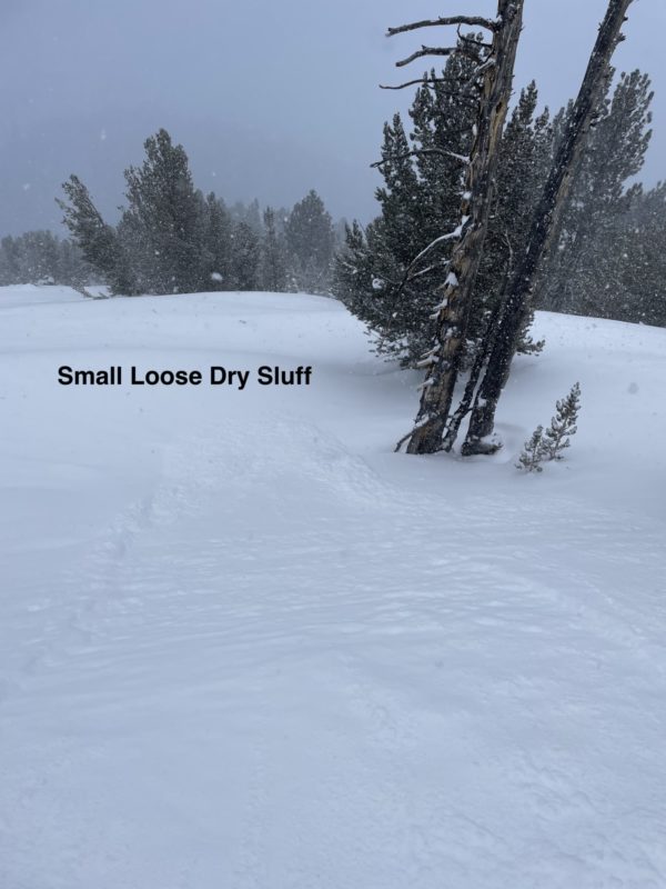
- Fresh deposits were not very stiff yet, 4f at most, and behaved more like small loose dry sluffs as they moved down the hill.
- On a couple steep rollovers in more protected areas i was also able to initiate some small loose dry sluffs which seemed more easily initiated in ares with old hard surfaces underneath.
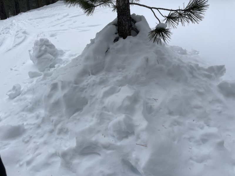
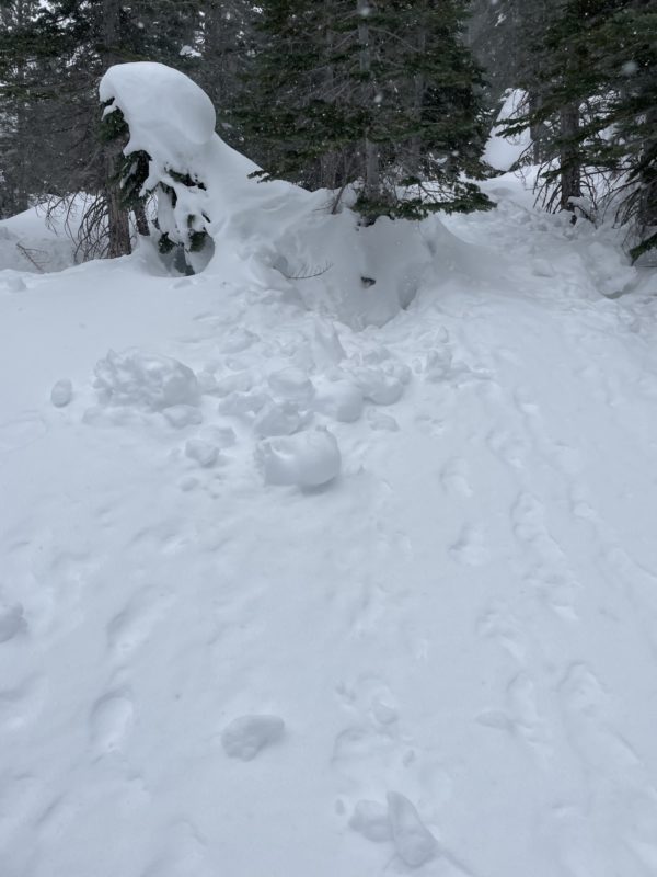
- Old tracks and significant treebomb activity kept things interesting on the descent, providing a challenge for the powder forward riders out there.
Media
Advanced Information
Weather Summary
Cloud Cover:
OvercastTemperature:
-10CWind:
Moderate , NW
Snow showers seemed to pick up around 1 pm reaching a peak between 2-4 pm with rates around S1 S2. Temps were chilly all day but seemed to be drop quickly this afternoon reaching low teens by 4pm. South west winds prevailed this morning and into the early afternoon but the direction seemed to shift to a more northerly flow between 3 and 4 pm.
Close