Basic Information
Observation Details
Observation Date:
February 11, 2023 - February 13, 2023Submitted:
February 11, 2023Observer:
Barbara Wanner | Key ObserverZone or Region:
Lee ViningLocation:
Dust on crust in the June BCSigns of Unstable Snow
Recent Avalanches?
YesCracking?
None ExperiencedCollapsing?
None Experienced
Snow Stability
Stability Rating:
FairConfidence in Rating:
HighStability Trend:
Key Points
I came back to the June Mtn. BC today to see how the snow surface was changed by last nights winds and yesterday’s warm temps and solar warming.
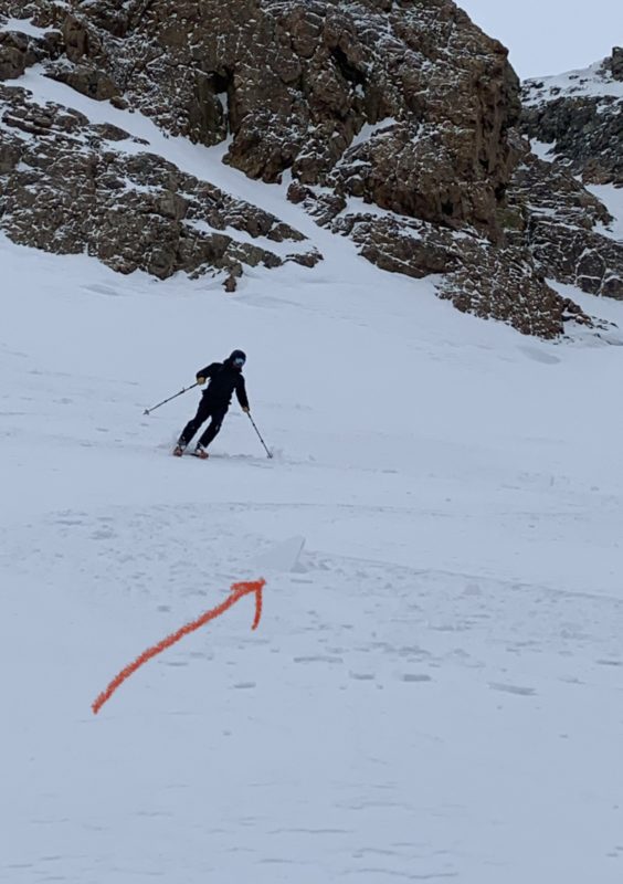
- Solar aspects up to at least 10,800 ft. had solar and temperature crusts. Often still breakable but near trees very firm.
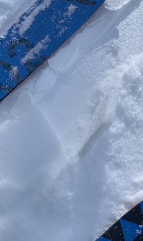
- Northerly aspects exposed to last night winds had a wind crust or wind board.
- The new snow we received over night amounted only to 3-5 cm of cold, low density new pow.
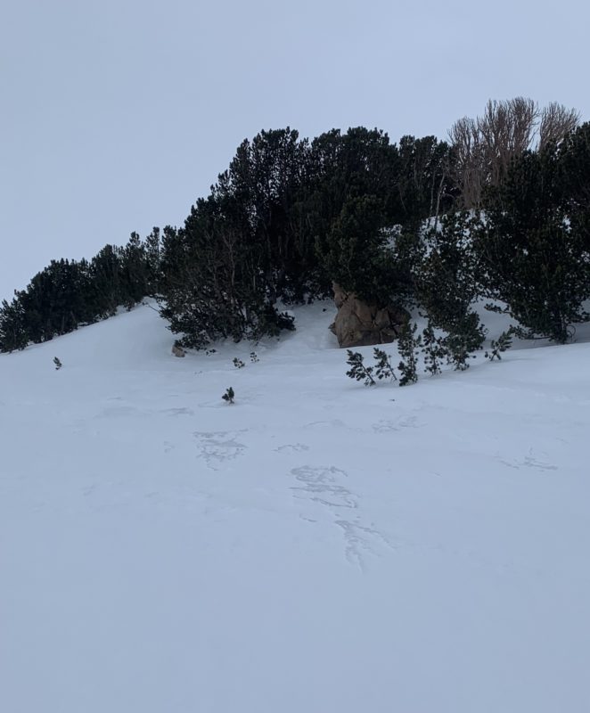
- The S and SW winds and new snow from last night created disconnected ribbons of soft wind packed snow about 10 cm deep in the lower Yost bowl and slightly better coverage up higher. The new now is forming a very soft layer that barely increases the skiing quality on the wind crust. I did not see widespread slab formation.
Advanced Information
Weather Summary
Cloud Cover:
OvercastWind:
Moderate , SW
The day started clear and ended up feeling pretty blustery with increasing clouds and moderate winds blowing at ridge top level. Temps ATL and NTL were below freezing. After 1300 it started snowing lightly. No noticeable accumulation was observed.
Avalanche Observations
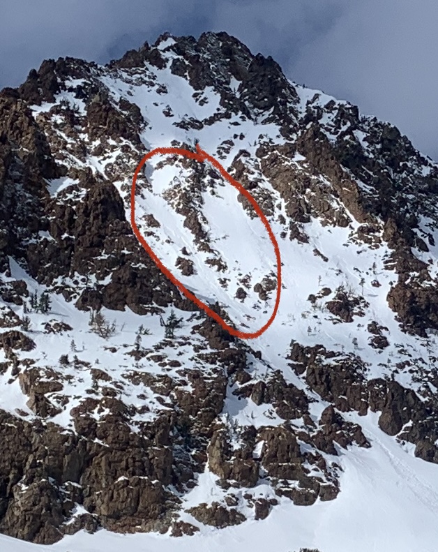
Observed about 3 loose wet sloughs that ran yesterday during the warm temps on the SE buttress of Dream mountain. A couple of them seem to have stepped down and triggered small slabs. D1 to .1.5.