Basic Information
Observation Details
Observation Date:
February 26, 2023 - February 26, 2023Submitted:
February 26, 2023Observer:
Clancy Nelson | ESAC ForecasterZone or Region:
Bishop CreekLocation:
Bishop Creek - Avalanche and SnowpackSigns of Unstable Snow
Recent Avalanches?
YesCracking?
IsolatedCollapsing?
None ExperiencedKey Points
Short drive and tour in Bishop Creek to look for recent avalanches and look at the snowpack and snow available for transport as an NWS Blizzard warning takes effect with heavy snow and strong winds at all elevations tomorrow.
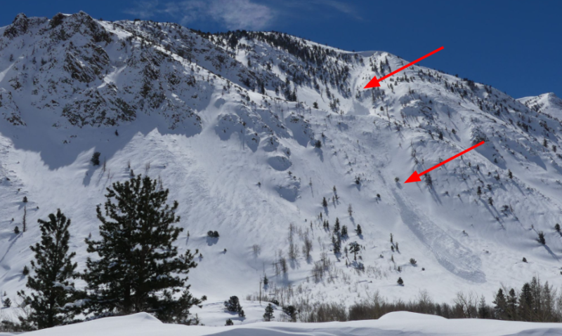
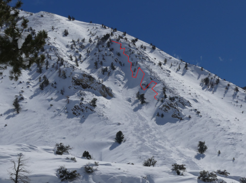
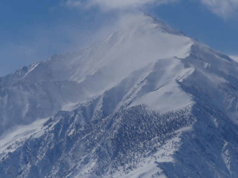
- Several recent natural avalanches on northwest aspects near and below treeline. A few of these were harmless sluffs. 3 were large wind slab avalanches. See photos and avalanche observations for more info.
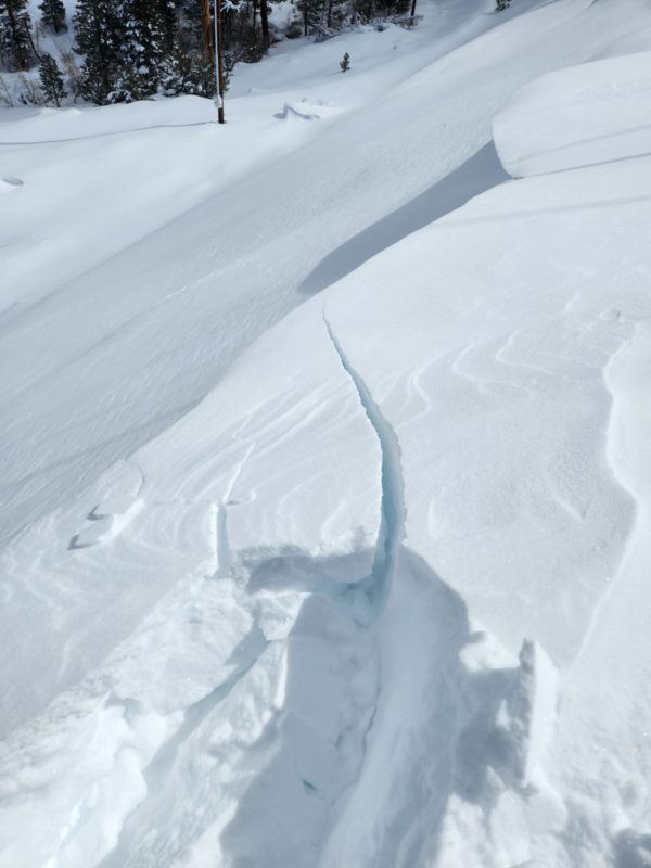
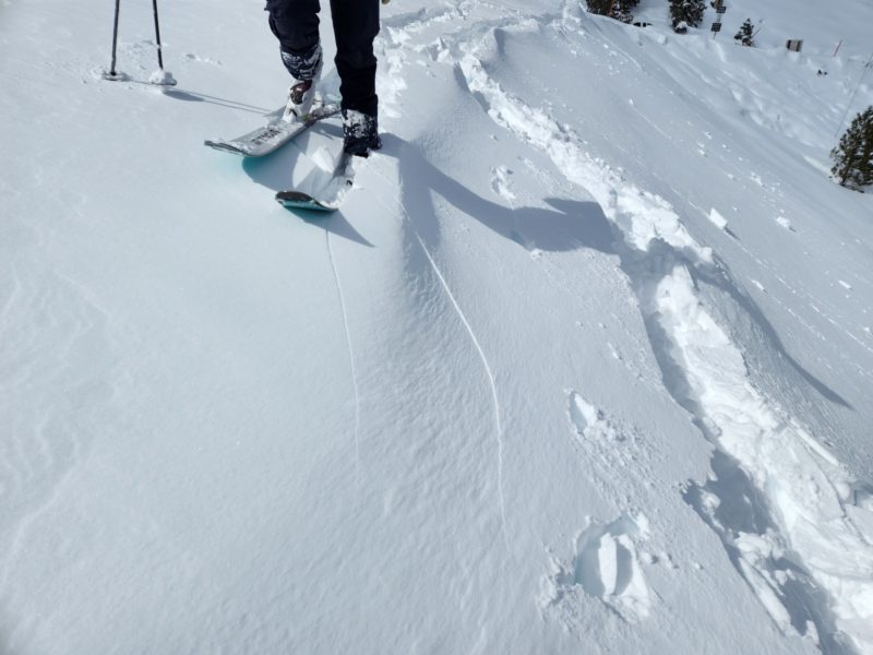
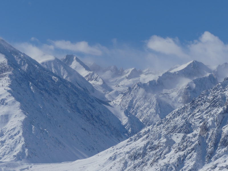
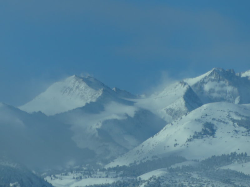
- We found wind-stiffened snow on west, north, and east aspects below treeline. We got some cracking on wind-loaded test slopes but triggered no avalanches. Slabs were 4 finger to 1 finger hard and sat atop fist-hard storm snow. Southwest wind was cranking above treeline and we saw intense blowing snow all day. Winds increased to light below treeline in the afternoon.
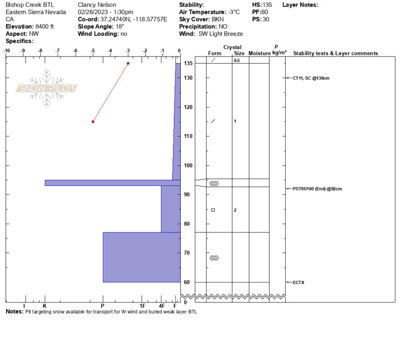
- We dug a snow pit on a northwest aspect below treeline to see how much snow would be available for strong winds and whether persistent weak layers are reactive at lower elevations. We found plenty of soft snow ready to drift if southwest or west winds pick up below treeline. We found big facets under a knife-hard crust under the 2+ feet of recent storm snow, through these did not give us results in several snowpack tests. The recent storm snow was upside-down and breaking trail out of the popular skin track was difficult.
Strong wind loading, cracking in wind slabs, and recent avalanches clued us into the possibility that we could find some sensitive wind slabs if we weren’t paying close attention. We turned around because of a lack of time, but we agreed before leaving some of our first test slopes that we would stick to low-angled terrain.
Media
Advanced Information
Weather Summary
Cloud Cover:
Mostly CloudyTemperature:
26.5 FWind:
Light , SW
Increasing clouds and wind. The next storm appeared to move over the Sierra Crest by early afternoon. It was very warm in the sun but it seemed to have no affect of the surface snow which stayed cold and dry.
Avalanche Observations
| # | Date | Location | Size | Type | Bed Sfc | Depth | Trigger | Comments | Photo |
|---|---|---|---|---|---|---|---|---|---|
| 3 | Past 48 hours |
Just down canyon from Aspendell. NW aspect of Table Mtn. NW 9200 ft |
D2 | WS | I-New/Old Interface | N-Natural | None | ||
| 3 | Past 24 hours |
NW slopes above Big Trees CG NW 7600 ft |
D1 | L | S-New Snow | N-Natural | None |
