Basic Information
Observation Details
Observation Date:
February 27, 2023Submitted:
February 27, 2023Observer:
Steve Mace | ESAC ForecasterZone or Region:
Mammoth LakesLocation:
Mill city/ pano dome area- heavy loading, signs of instabilitySigns of Unstable Snow
Recent Avalanches?
YesCracking?
IsolatedCollapsing?
IsolatedKey Points
You didn’t need to go far today to see the signs of instability. With a rash of recent large avalanches reported over the last 48 hrs, about 20” of new snow overnight, precip rates approaching 2” + an hour for periods today, and continued strong winds the mountains have been talking to us. I decided to venture out in the mill city with the hopes of getting a feel for how the new snow today is stacking up and to see if I could find any decent test slopes. I made efforts to avoid avalanche terrain capable of producing larger than a D1 avalanche and was careful to give areas with overhead hazards a wide berth.
- The new snow accumulations are quite light and unconsolidated, and travel proved difficult and arduous today with Ski pen averaging around 50 cm with some areas as deep as 80cm.
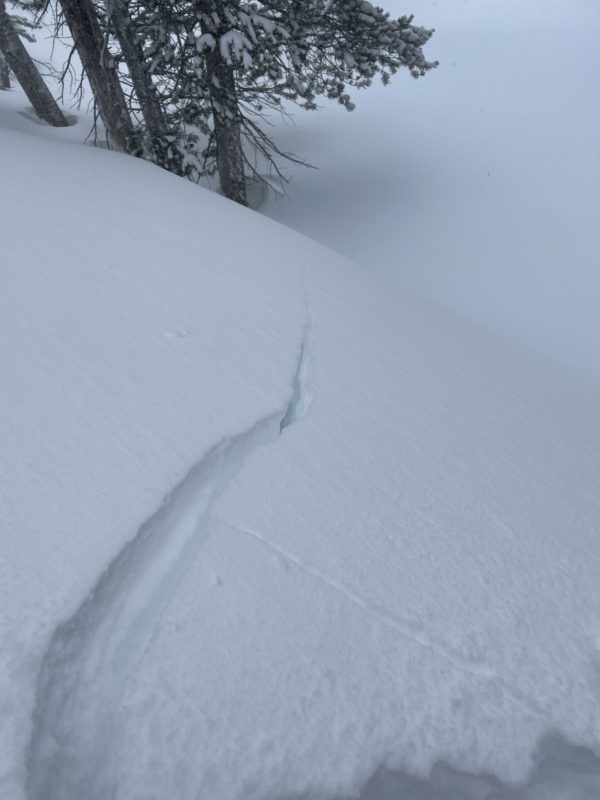
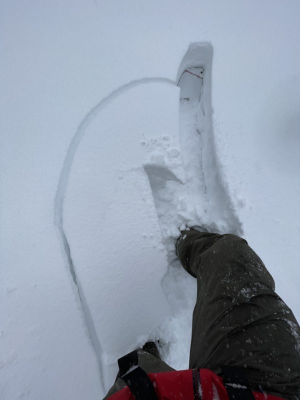
- In more open areas and wind-exposed areas, I found a distinctly upside-down snowpack with wind-stiffened snow above and less consolidated snow below. in these areas, it was easy to initiate isolated surface cracking around the skin track.
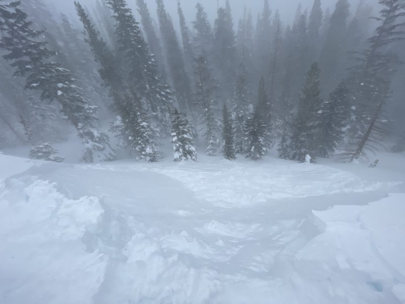
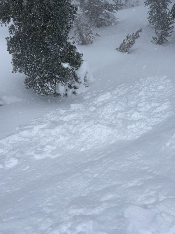
- I found several small test slopes where I was able to initiate shooting cracks and one larger catchment zone near the approach to Panorama dome where I triggered a size 1 avalanche as I approached the edge. This slide broke about 60 ft wide and ran about 80 into sparse trees below. The crown height of this fresh slab maxed out at about 12”. Long shooting cracks up to about 40’ were also observed in the area.
- Some localized collapsing was observed throughout my tour, but I suspect most of this was occurring due to density changes in the upper snowpack.
- Today was one of those days where it was uphill both ways. Never took the equipment out of uphill mode.
Media
Advanced Information
Weather Summary
Cloud Cover:
OvercastWind:
Strong , SW
heavy snow and strong winds made for a full-value winter experience today. Winds did seem to increase in the afternoon leading to significant bowing snow even in sheltered areas BTL and very poor visibility.
Close