Observation Details
Observation Date:
December 28, 2021Submitted:
December 28, 2021Zone or Region:
Bishop CreekActivity:
Skiing/SnowboardingLocation:
Above Lake SabrinaObservations
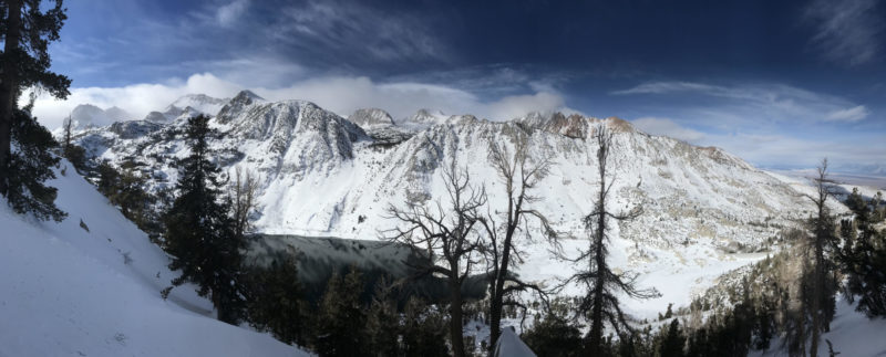
Toured up to 10,000' on the NW-facing slopes above Lake Sabrina. Widespread wind effect, patches of bare pavement on the road, and cross-loaded gullies next to stripped ridges made it clear that strong winds had run through more or less on the Sabrina-Aspendell axis. There were plenty of bushes and rocks sticking up through the snow, especially in areas that had been stripped by the wind, but even deposition zones looked like low tide around 9000'. Up at 10,000' in a crossloaded microgully we found 175 cm; 10 meters away on the tiny ridge that had lent snow to the gully the depth was only 112 cm. No facets were found when one of our party dug heroically down 175cm to the ground. Instead, we found a right-side-up structure from the recent storms - fist at the surface to one finger for most of the depth. No wind slab or storm slab sensitivity was detected on the tour, even on steep and convex features. Skiing ran the gamut from thick powder to breakable wind crust and sharks abound.
The southern half of Lake Sabrina is still open water; the northern half is solidly frozen.
Signs of Unstable Snow
Media

