Observation Details
Observation Date:
January 3, 2023Submitted:
January 3, 2023Zone or Region:
Mammoth LakesActivity:
Skiing/SnowboardingLocation:
East Red ConeObservations
Ventured out to the Red Cone zone this afternoon to assess how the new storm snow is bonding to the existing snowpack before the next round of storms arrives.
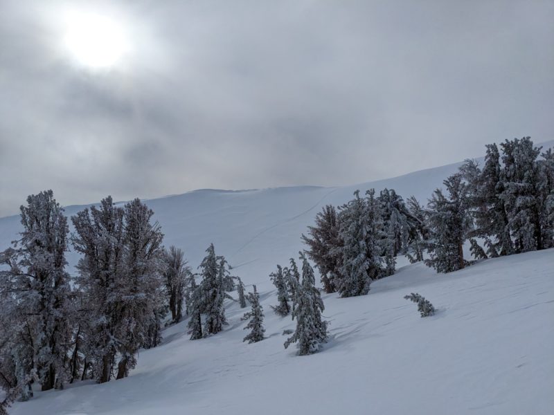
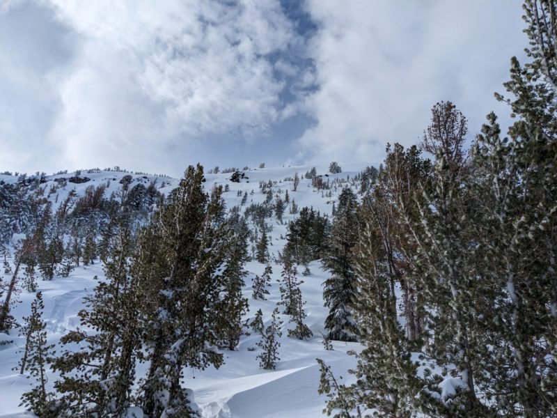
I observed intense westerly wind transport on ridges while driving from Bishop to the trailhead, particularly on ridges near or on the crest. I left the TH around 1200 and reached the top of the crest (~10,500') around 1300. I stuck entirely to E aspects on my first two laps, finding firm, wind-affected snow immediately on and below ridges and soft, generally right-side-up snow in more sheltered areas. Gladed areas held the softest snow, while more open areas had a thin zipper crust that was pleasant and easy to ski through. Poking out into steeper terrain (~40 degrees) NTL, I found slightly more cohesive surface snow but nothing I would classify as a true wind slab.
While skinning up for my final lap, I felt the gentle caress of a prefrontal system, which reduced visibility to tens of meters. I followed the skin track down, sticking to N and NE aspects. The snow was somewhat heavier relative to E aspects but still skied nicely. Wind transport at lake level during the skate out was quite strong, with foot-plus drifts having formed since I skinned in.
Signs of Unstable Snow
Media


